
Tracking dry, comfortable weather before rain returns for the 4th
Tracking sunny, warm days through Thursday before rain chances increase for a cooler, soggy 4th of July weekend.
Continue Reading Tracking sunny, warm days through Thursday before rain chances increase for a cooler, soggy 4th of July weekend.
Continue Reading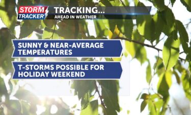
Tracking dry skies and cooler temperatures
Continue Reading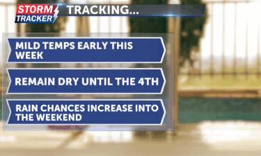
We started the week with rain and cooler temps, but expect sunny, comfortable weather through midweek before slight rain chances return for the 4th of July weekend.
Continue Reading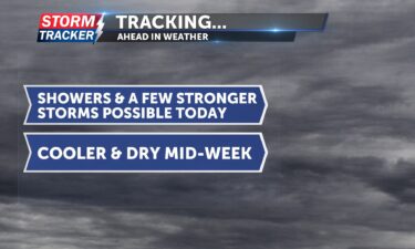
Tracking thunderstorms and heavy rain this morning: drier and cooler mid week
Continue Reading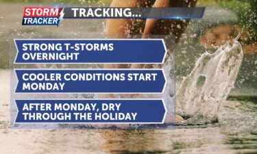
A storm system tonight poses a Level 2 risk with flooding and damaging winds, clearing by Monday afternoon with warmer weather for the Fourth of July.
Continue Reading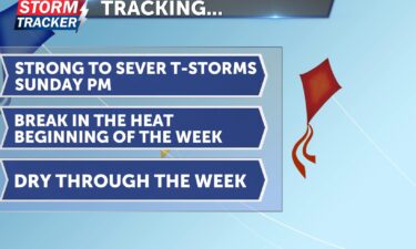
Saturday has been another hot and humid day across the St. Joseph area. However, there is light at the end of the tunnel, as we can expect some relief from the heat and humidity at the start of the workweek. Sunday is expected to be an active weather day. We’ll begin with conditions very similar
Continue Reading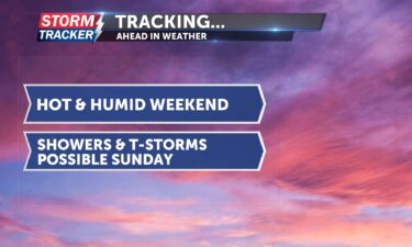
Tracking a hot and mostly dry weekend: t-storms possible Sunday
Continue Reading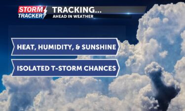
Hot and humid conditions will remain in place to finish out the work week and start the weekend across Northwest Missouri and Northeast Kansas.
Continue Reading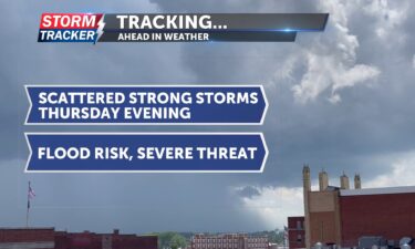
Scattered strong storms will continue to track across the Mid-Missouri river Valley Thursday evening, posing a risk for damaging winds, heavy rain, and flooding.
Continue Reading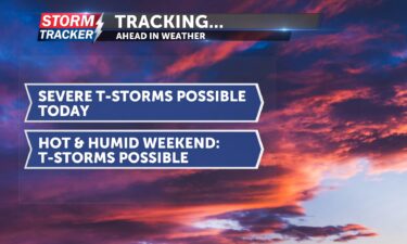
Tracking possible severe storms today: stormy, hot weekend ahead
Continue Reading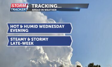
A hot, humid, and mainly dry Wednesday evening will give way to scattered t-storms Thursday, as a brief break from the rainfall is followed up by a more active pattern.
Continue Reading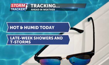
Tracking dry skies today; multiple rain chances late-week
Continue Reading
Tracking scattered t-storms and lingering heat.
Continue Reading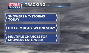
Tracking multiple chances for showers and thunderstorms today
Continue Reading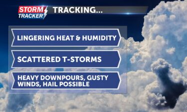
Hot and humid conditions will continue across Northwest Missouri and Northeast Kansas Monday afternoon and evening, fueling chances for scattered strong storms across the area into Monday night.
Continue Reading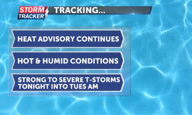
Tracking lingering heat and possible t-storms to the start of the work week
Continue Reading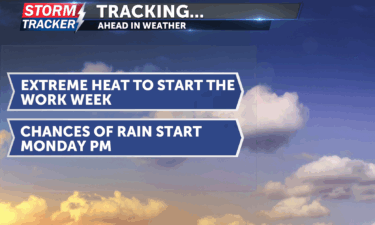
Record-breaking overnight lows continue, with a heat advisory in effect and t-storms possible Monday night into Tuesday.
Continue Reading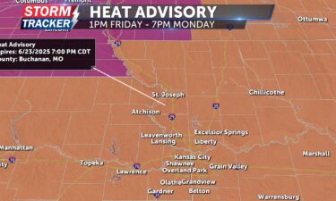
The NWS has extended a heat advisory through Monday for much of Missouri and northeastern Kansas, with dangerously high temperatures and heat indices surpassing 100°F, followed by active weather including rain and thunderstorms starting Monday night.
Continue Reading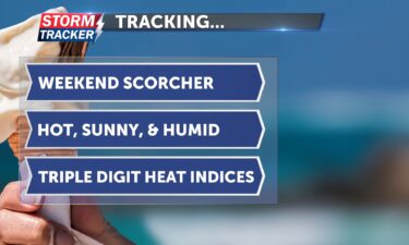
Intense heat and oppressive humidity will continue to dominate the weather story across Northwest Missouri and Northeast Kansas through the weekend.
Continue Reading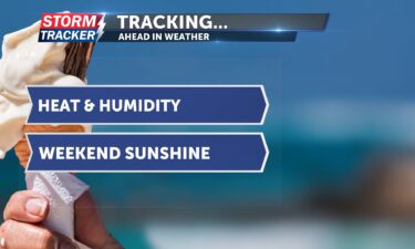
Happy Friday and first day of summer St. Joseph! This morning, a stray thunderstorm passed to our northeast, leaving St. Joseph proper dry. As the sun rises, it will give way to sunshine for the rest of the day. A heat advisory is in effect from 1 p.m. today through 7 p.m. Saturday. Heat index
Continue Reading
Tracking hot, humid, and sunny days ahead.
Continue Reading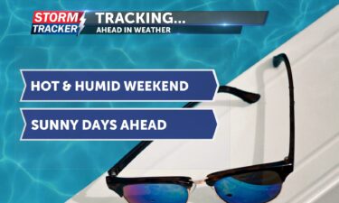
This morning, there is some patchy fog but it will lift by mid-morning. It’s a cool start, but temperatures will heat up quickly, with afternoon highs expected in the upper 80s to low 90s. There will be plenty of sunshine today, and it won’t be too humid. Winds will start from the west but shift
Continue Reading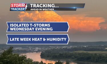
Tracking exiting t-storms, late-week heat.
Continue Reading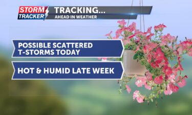
Tracking possible scattered thunderstorms this evening: hot and humid weekend
Continue Reading
Tracking scattered strong storms Tuesday evening, heat building later in the week.
Continue Reading
Tracking a threat for severe thunderstorms today
Continue Reading
Severe storms expected Tuesday evening in the St. Joseph area, with threats of damaging winds, hail, and localized flooding—stay weather-aware and prepared.
Continue Reading
To start the workweek, it will be hot and humid today. Expect plenty of sunshine with a few clouds, making for mostly sunny skies. Afternoon highs will reach the upper 80s to low 90s. Tonight, skies will remain mostly clear with a slight chance of showers. Overnight lows will stay warm, only dropping into the
Continue Reading
Hot and humid to start the week, with storms brewing by Tuesday and summer heat returning by the weekend.
Continue Reading
ST. JOSEPH, Mo. (News-Press NOW) — Happy Saturday folks! We are looking at a mostly pleasant week ahead with only two days with a chance of rain and warm conditions. Highs are going to bounce around normal (85 degrees) each day this week, with some days just below that, and others just above that. Luckily,
Continue Reading