Tracking holiday weekend heat, t-storm chances
Seasonably hot and humid conditions will remain across Northwest Missouri Northeast Kansas through Independence Day weekend, with increasing chances for scattered t-storms by Saturday.
Continue Reading Seasonably hot and humid conditions will remain across Northwest Missouri Northeast Kansas through Independence Day weekend, with increasing chances for scattered t-storms by Saturday.
Continue Reading
Hot and humid conditions will remain in place to finish out the work week and start the weekend across Northwest Missouri and Northeast Kansas.
Continue Reading
Scattered strong storms will continue to track across the Mid-Missouri river Valley Thursday evening, posing a risk for damaging winds, heavy rain, and flooding.
Continue Reading
A hot, humid, and mainly dry Wednesday evening will give way to scattered t-storms Thursday, as a brief break from the rainfall is followed up by a more active pattern.
Continue Reading
Tracking scattered t-storms and lingering heat.
Continue Reading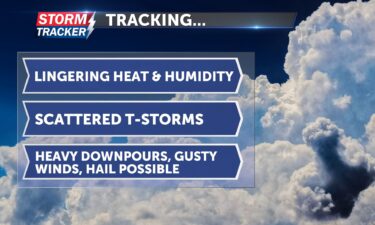
Hot and humid conditions will continue across Northwest Missouri and Northeast Kansas Monday afternoon and evening, fueling chances for scattered strong storms across the area into Monday night.
Continue Reading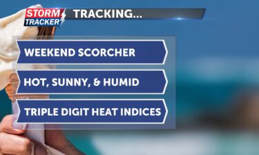
Intense heat and oppressive humidity will continue to dominate the weather story across Northwest Missouri and Northeast Kansas through the weekend.
Continue Reading
Tracking hot, humid, and sunny days ahead.
Continue Reading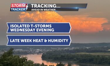
Tracking exiting t-storms, late-week heat.
Continue Reading
Tracking scattered strong storms Tuesday evening, heat building later in the week.
Continue Reading
Tracking late-week cloud cover and spotty rain chances, with a hot and sunny start to the weekend.
Continue Reading
Tracking toasty temperatures and isolated t-storm chances.
Continue Reading
Mostly sunny and toasty afternoons will continue across Northwest Missouri and Northeast Kansas through Wednesday before isolated showers and t-storm chances return later in the week. A dry and toasty Tuesday afternoon and early evening will give way to a clear and cool night, with lows falling into the lower 60s after midnight and light
Continue Reading
JACKSON COUNTY, Mo. (News-Press NOW) — The National Weather Service confirmed two weak tornadoes touched down on the east side of Kansas City in Jackson County as a line of severe thunderstorms passed through the area Tuesday, June 3.
Continue Reading
Tracking mild and dry conditions Wednesday and early Thursday, before rain chances return Thursday afternoon and Friday.
Continue Reading
Tracking heavy t-storms Tuesday afternoon and evening posing a flood risk locally and severe threat across the KC metro.
Continue Reading
A hot and sunny Monday afternoon and evening will give way to t-storm chances by the pre-dawn hours of Tuesday morning. Rounds of thunderstorm activity are expected to track across Northwest Missouri and Northeast Kansas through the day Tuesday. A few storms may be severe with damaging winds, hail, and heavy rain being the primary
Continue Reading
After a gloomy and damp start to Thursday across Northwest Missouri and Northeast Kansas, a 30% to 40% chance of scattered t-showers remains through the late afternoon and evening. Upper 60s and low 70s before sunset will fall well into the 50s after midnight, with clearing skies and light winds. Sunshine makes a come-back Friday,
Continue Reading
Gray skies along the Missouri River near Worthwine Island Conservation Area on May 28 2025.
Continue Reading
Mild and mainly dry conditions Saturday afternoon and evening will give way to mostly cloudy skies, returning rain chances, and below average temperatures through the rest of Memorial day weekend. Clouds will overspread the area Saturday night, with a 30% – 40% chance of showers developing after sunset, light easterly breezes, and lows in the
Continue Reading
Tracking a gray and showery Memorial Day Weekend with below average temperatures.
Continue Reading
ST. JOSEPH, Mo. (News-Press NOW) –The first half of May offered a lull in spring storms across Northwest Missouri and Northeast Kansas, with a solid 14 days of dry quiet weather across the region.
Continue Reading
Tracking a clear and dry Thursday evening, increasing clouds Friday, and rain/t-storm chances this weekend.
Continue Reading
Tracking a cool and mainly dry Wednesday night, sunshine on Thursday, and returning showers late Friday through the weekend.
Continue Reading
The National Weather Service in Kansas City confirmed an EF-0 tornado touched down south of St. Joseph Monday evening, May 19 2025.
Continue Reading
Tracking a cool and dry mid-week, weekend rain chances.
Continue Reading
Severe threat Monday afternoon and evening across Northwest Missouri and Northeast Kansas.
Continue Reading
Tornado Watch issued through 9 p.m. Monday evening.
Continue Reading
Tracking a warm and dry Saturday afternoon and evening, followed by a multi-day threat for severe thunderstorms Sunday night, and Monday.
Continue Reading
Tracking a sunny and warm start to the weekend and a threat from strong storms starting late Sunday.
Continue Reading