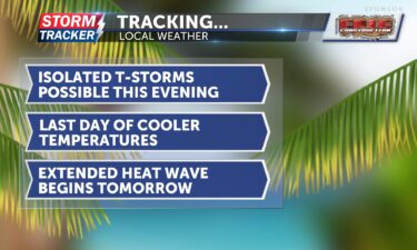
Tracking possible t-storms this evening: July scorcher begins tomorrow
Tracking possible t-storms this evening: July scorcher begins tomorrow
Continue Reading Tracking possible t-storms this evening: July scorcher begins tomorrow
Continue Reading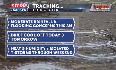
Tracking moderate rainfall and flooding concerns this morning: late-week cool down
Continue Reading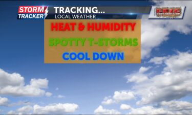
Tracking summer heat and multiple chances for thunderstorms today
Continue Reading
Pet Pals: St. Joseph Animal Shelter highlights a sweet dog named ‘Ben’
Continue Reading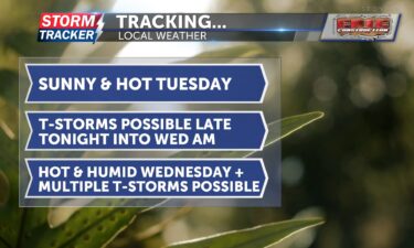
Tracking another hot day: scattered storms possible late tonight and Wednesday
Continue Reading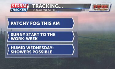
Tracking a hot and sunny start to the work-week
Continue Reading
Cloud-to-ground lightning strike in downtown St. Joseph during an afternoon thunderstorm in August of 2023.
Continue Reading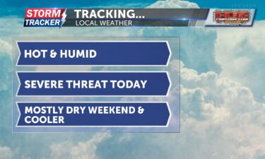
Tracking scattered severe threat this evening: cooler, mostly dry weekend ahead
Continue Reading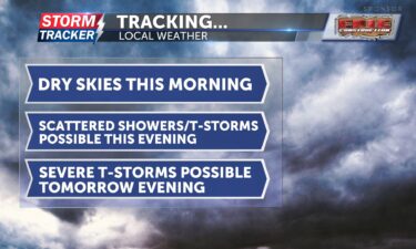
Tracking spotty showers this evening; severe storm risk increases tomorrow
Continue Reading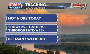
Tracking dry skies today: late-week showers and thunderstorms possible
Continue Reading 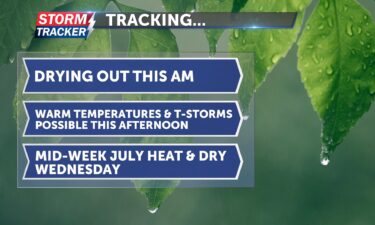
Tracking lingering showers this morning, July heat, and possible late-week thunderstorms
Continue Reading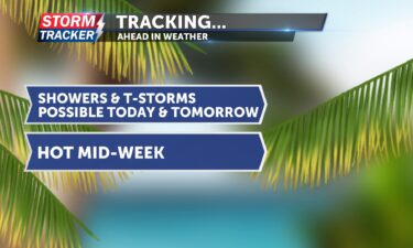
Tracking hot and stormy start to the week
Continue Reading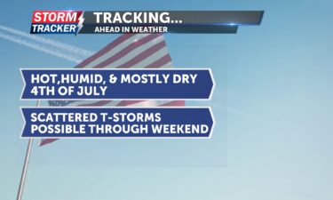
Tracking a seasonable Fourth of July: strong, scattered storms possible tomorrow
Continue Reading
America’s holiday: Fourth of July climatology and why firework smoke lingers
Continue Reading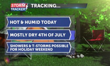
Tracking a hot and humid late-week: showers possible through holiday weekend
Continue Reading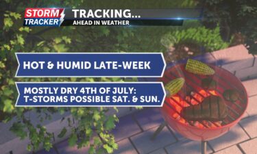
Another cool start to the morning, but as the sun rises, temperatures will quickly climb. Afternoon highs are expected to reach the upper 80s to low 90s, which is seasonable for this time of year. Luckily, dew points will stay in the low 60s today, keeping the air drier and more comfortable. Tonight, overnight lows
Continue Reading 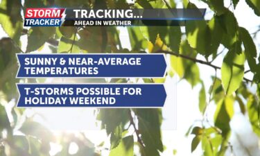
Tracking dry skies and cooler temperatures
Continue Reading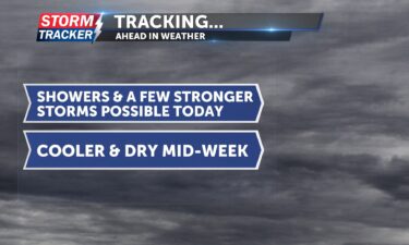
Tracking thunderstorms and heavy rain this morning: drier and cooler mid week
Continue Reading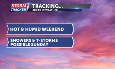
Tracking a hot and mostly dry weekend: t-storms possible Sunday
Continue Reading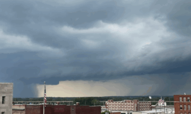
Mature thunderstorm moving into St. Joseph from the southwest on Monday, June 26.
Continue Reading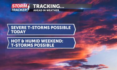
Tracking possible severe storms today: stormy, hot weekend ahead
Continue Reading
Tracking dry skies today; multiple rain chances late-week
Continue Reading 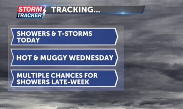
Tracking multiple chances for showers and thunderstorms today
Continue Reading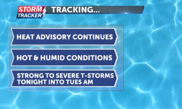
Tracking lingering heat and possible t-storms to the start of the work week
Continue Reading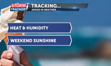
Happy Friday and first day of summer St. Joseph! This morning, a stray thunderstorm passed to our northeast, leaving St. Joseph proper dry. As the sun rises, it will give way to sunshine for the rest of the day. A heat advisory is in effect from 1 p.m. today through 7 p.m. Saturday. Heat index
Continue Reading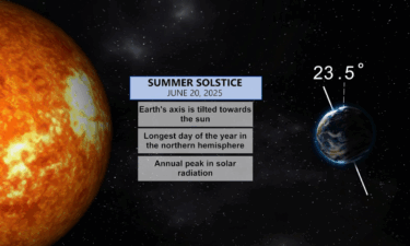
The first day of summer, also known as the summer solstice, will occur on Friday, June 20, 2025. This marks the point when the Earth’s Northern hemisphere is tilted most directly toward the sun making it the longest day and shortest night of the year.
Continue Reading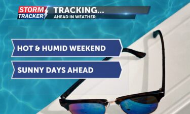
This morning, there is some patchy fog but it will lift by mid-morning. It’s a cool start, but temperatures will heat up quickly, with afternoon highs expected in the upper 80s to low 90s. There will be plenty of sunshine today, and it won’t be too humid. Winds will start from the west but shift
Continue Reading