Tracking scattered t-storm chances, cooler days ahead
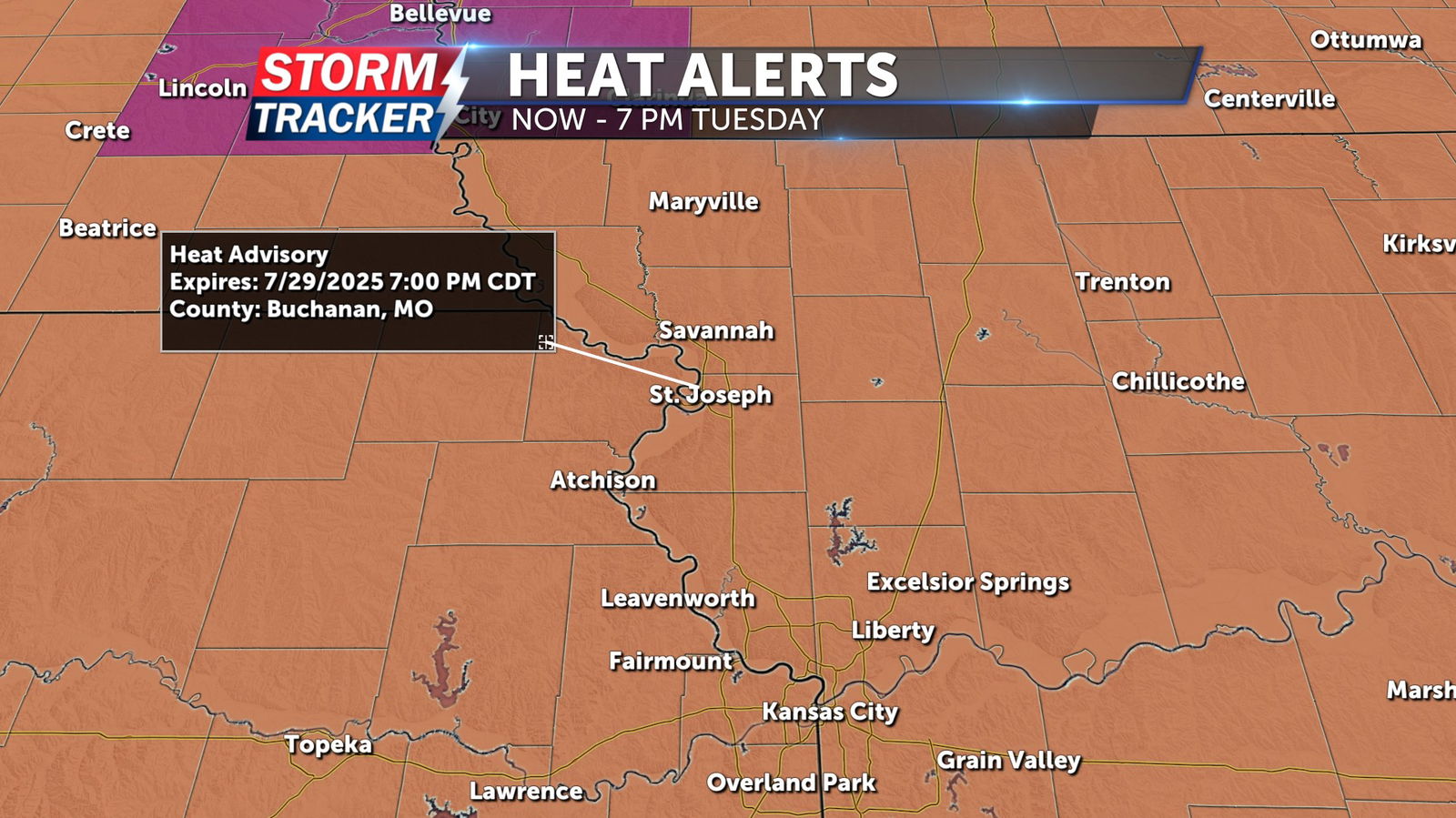
Tuesday afternoon and evening will bring the final hours of excessive heat and humidity across Northwest Missouri and Northeast Kansas, before a front triggers scattered t-storms to the region and eventually much cooler air. A Heat Advisory remains in place area-wide through 7 p.m. Tuesday evening, with heat index values remaining well above 100 degrees.
Skies will remain mostly clear through sunset Tuesday, with overnight lows falling into the 70s late. A 40% chance of showers and t-storms will develop after midnight Tuesday, with the best chance for storms north of the highway 36 corridor. A few storms may produce gusty to damaging winds and locally heavy rain. A 60% chance of showers and t-storms will linger Wednesday with partly cloudy skies and highs in the low to mid 80s. Clouds linger Thursday with a 20% chance of stray showers and much cooler temperatures, as highs top out in the mid 70s. Below average temperatures and mainly dry conditions are expected to linger Friday, and into the weekend.


