Tracking Friday evening t-storms, spotty severe threat, flood risk
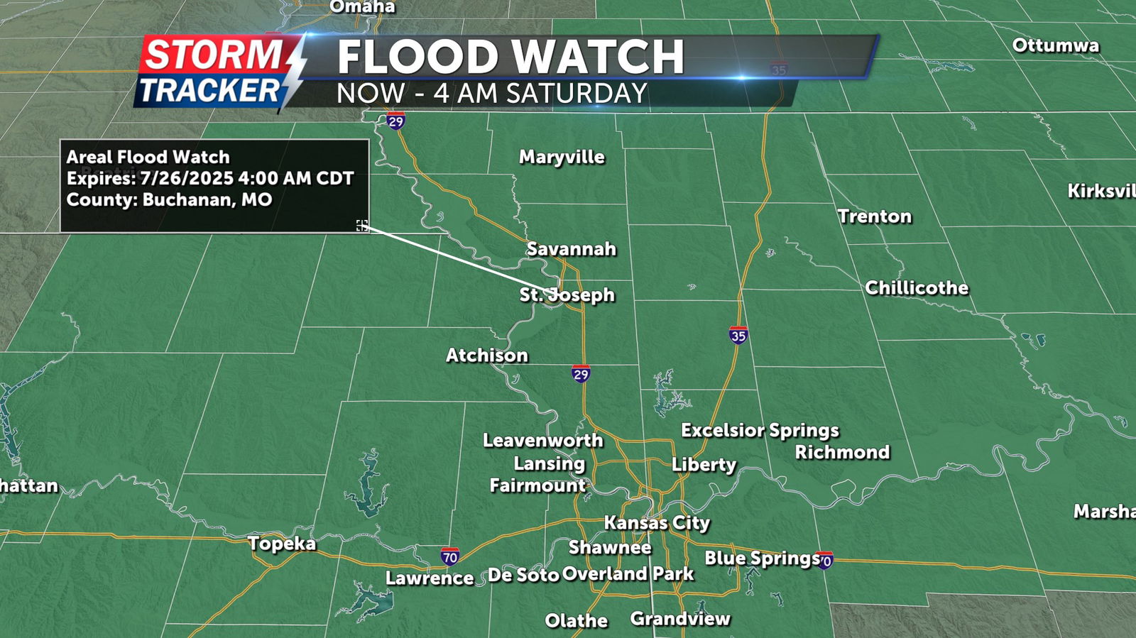
Rounds of shower and thunderstorm activity will continue across the Mid-Missouri River Valley late Friday evening. Storms will be accompanied by locally heavy rain and a risk for flash flooding. A threat for damaging wind gusts, and isolated tornadoes will also come into play, especially between 4 PM and 10 PM Friday. A Flood Watch remains in effect for all of Northwest Missouri and Northeast Kansas through 4 a.m. Saturday, July 26. Rainfall of 1 to 3 inches is forecast for much of the watch area through Saturday morning. Isolated locations could receive well over 4 inches of additional rainfall. Rapidly rising waterways, and flooding of low-lying areas will be possible, depending on where the heaviest rainfall sets up Friday night.
A drying trend will arrive Saturday with an isolated chance of t-showers, mainly during the morning hours. Sunshine ultimately prevails Saturday afternoon allowing temperatures to rise into the upper 80s. Hot, humid, and sunny conditions follow Sunday and into next week as 90s make a strong return to the region.


