Tracking heat, returning t-storms, flood risk late-week
Periods of sunshine and heat will continue across Northwest Missouri and Northeast Kansas through Wednesday evening, before thunderstorm activity makes a come-back Thursday and Friday. Late-week t-storms will bring a risk for locally heavy rainfall and pose a flood threat. A Flood Watch has been issued for all of Northwest Missouri and Northeast Kansas Thursday evening through Friday morning.
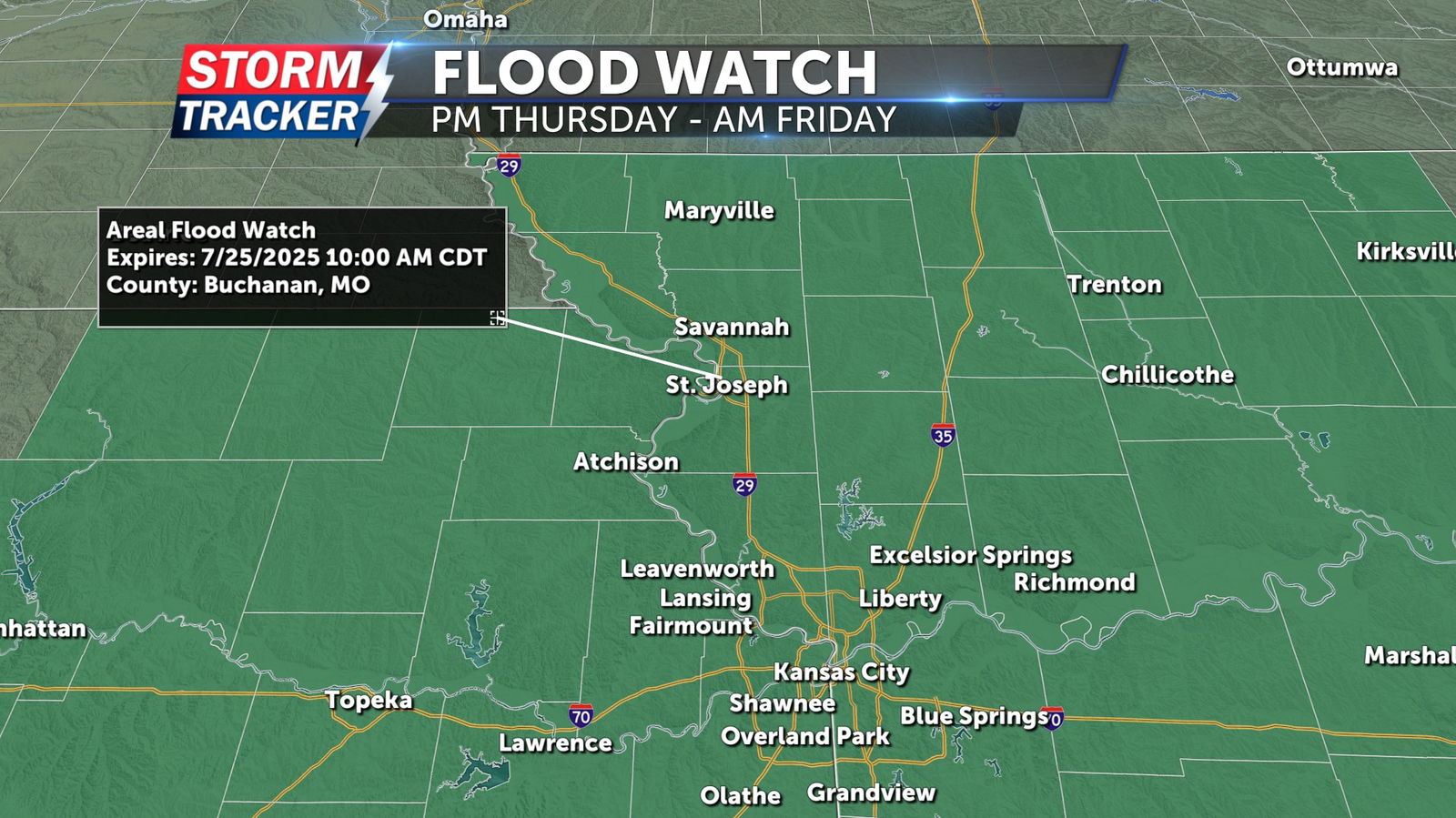
A Heat Advisory remains in effect across Northwest Missouri, and the eastern fringe of Kansas through 7 p.m. Wednesday, as heat and humidity continue to result in heat index values near 100 degrees. Temperatures will fall into the 70s Wednesday night, with partly sunny skies and a 30% chance of isolated t-storms after midnight. Cloud cover and t-storm chances increase Thursday, with afternoon highs in the upper 80s to low 90s and a 60% chance of showers and t-storms, especially during the evening hours. Rounds of scattered to widespread t-storm activity will continue Thursday night, into Friday morning. Rainfall totals of 1 to 3 inches are expected across the area in general, with locally higher totals possible.


