Tracking isolated t-storm chances, intense heat next week
Partly cloudy skies and isolated t-storm chances will continue through Friday evening and into the weekend, as a warming trend builds across Northwest Missouri and Northeast Kansas. By early next week, a wave of intense heat and humidity will build into the region, prompting an Extreme Heat Watch for much of Northwest Missouri and Northeast Kansas from Monday afternoon through Wednesday evening. An Extreme Heat Warning has been issued for the Kansas City metro, including Platte county, MO and points south through much of central and southern Missouri and eastern Kansas.
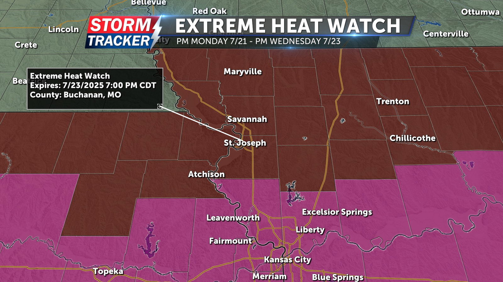
An Extreme Heat Watch has been issued for the following counties.
Northeast Kansas: Doniphan, Atchison
Northwest Missouri: Nodaway, Worth, Gentry, Harrison, Mercer, Putnam, Schuyler, Holt, Andrew, De Kalb, Daviess, Grundy, Buchanan, Clinton, Caldwell, Livingston, Linn MO, Macon
Dangerously hot conditions with heat index values up to 105 to 110 possible. Additionally, overnight lows may reside in the mid to upper 70s at times, reducing ability to recover from daytime heat. Heat related illnesses increase significantly during extreme heat and high humidity events. Drink plenty of fluids, stay in an air-conditioned room, stay out of the sun, and check up on relatives and neighbors.


