Tracking late-week heat and t-storms, severe threat Friday
Hot and muggy conditions will be accompanied by scattered t-storm chances to finish out the work week across Northwest Missouri and Northeast Kansas. A threat for strong storms is forecast to develop late Friday afternoon and evening. Damaging wind gusts and pockets of sizable hail will be the primary hazards. Locally heavy rainfall will also be possible, especially along and east of the I-35 corridor.
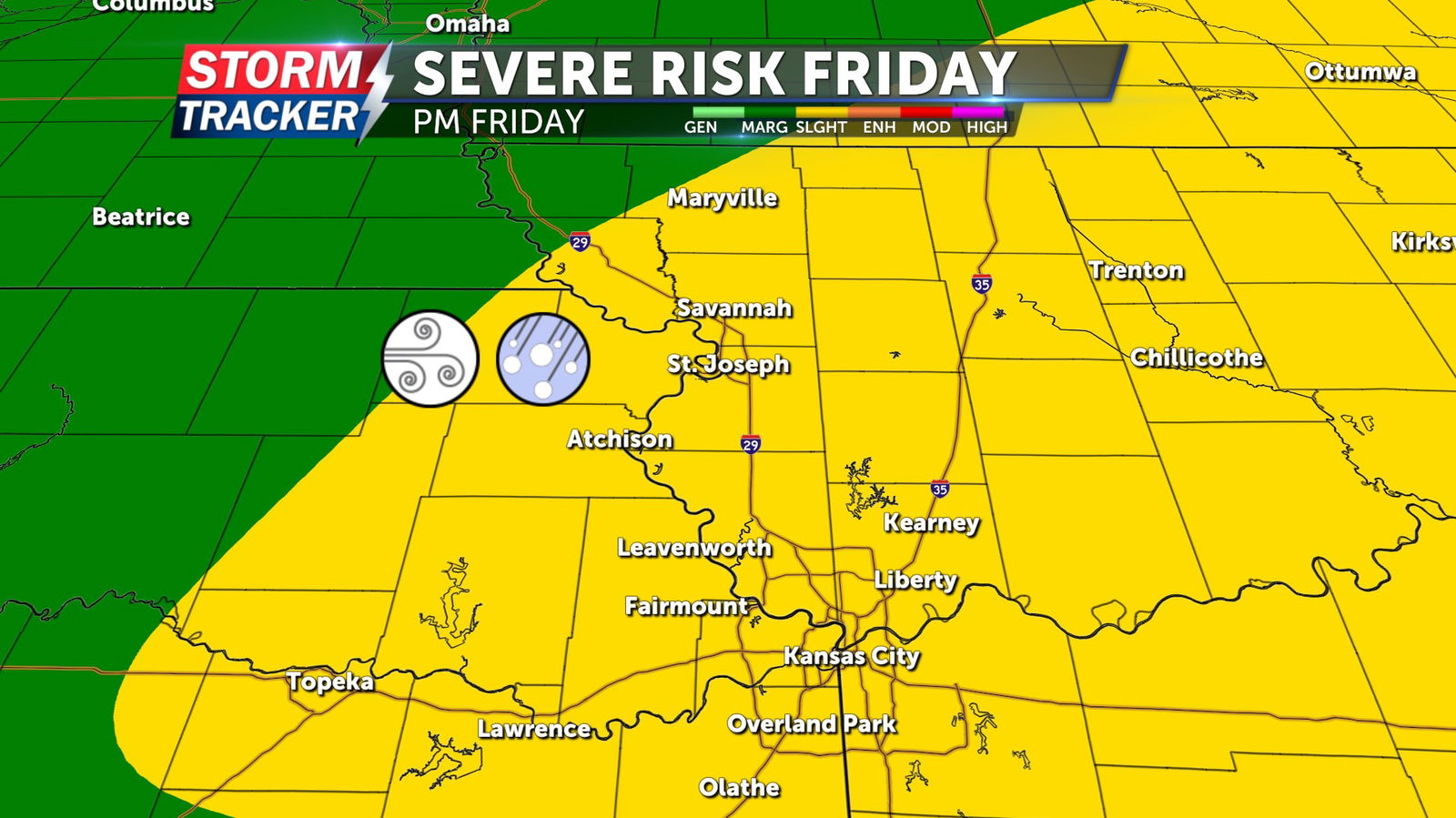
Partly sunny, hot, and breezy conditions will prevail Thursday afternoon and evening with highs in the low to mid 90s and southerly winds at 10 to 15 mph. Low temperatures late Thursday will bottom out in the mid to low 70s. A 20% to 30% chance of t-storms will remain in place Thursday night, through Friday morning, before thunderstorm chances increase to 40% - 60% after 5 p.m. Friday. Any storms that develop Friday evening could produce damaging wind gusts, hail, and locally heavy rainfall.


