Tracking a steamy and stormy late-week
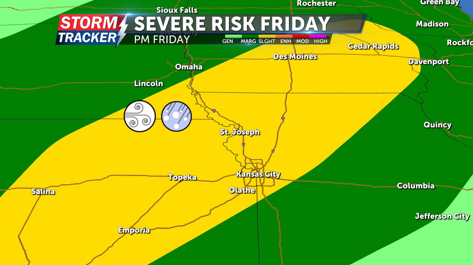
Hot and muggy summer air will remain in place across Northwest Missouri and Northeast Kansas through the work week, fueling isolated t-storms chances Wednesday night and Thursday. Scattered strong to severe thunderstorms will be possible Friday, as a low pressure system passes through the region. Hail and damaging wind gusts will be the primary hazards with any storms that develop Friday.
Mostly sunny skies and afternoon 90s Wednesday afternoon, will give way to lows in the 70s and a 20% chance for stray t-storms Wednesday night. Slight t-storm chances continue Thursday, with partly to mostly sunny skies and afternoon highs in the mid 90s.


