Tracking heat, humidity, and sunshine
Hot and humid conditions will remain in place to finish out the work week and start the weekend across Northwest Missouri and Northeast Kansas. Partly to mostly sunny skies prevail Friday, with a 10% chance of stray t-storms after 2 PM and highs in the low 90s. Heat index values will peak in the mid to upper 90s during the hottest hours of the day. Saturday will bring a repeat performance, with a mix of clouds and sun along with afternoon 90s. Spotty t-storm chances will increase to 30% Sunday and Monday, with little relief from the heat as steamy conditions persist.
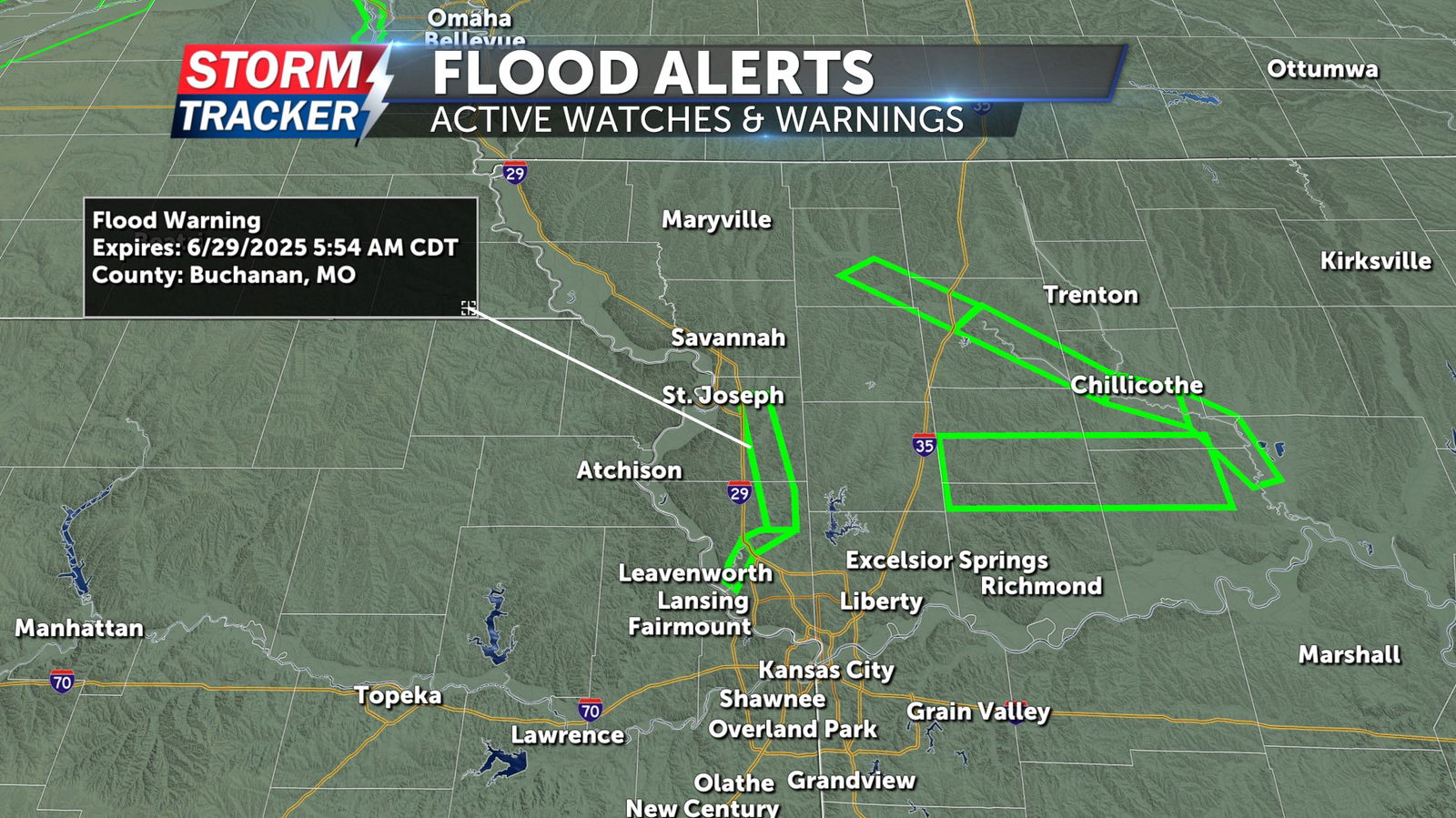
A Flood Warning remains in place for the Platte River in Buchanan and Platte counties through Sunday morning, June 29.