Tracking steamy and stormy days ahead
A hot, humid, and mainly dry Wednesday evening will give way to scattered t-storms Thursday, as a brief break from the rainfall is followed up by a more active pattern. While a stray t-storm is possible across Northwest Missouri and Northeast Kansas Wednesday evening, most will remain dry with upper 80s and low 90s early, followed by a cool-off to the 70s after sunset. Partly sunny and dry conditions early Thursday will be preceded by a 60% chance of scattered t-storms after 1 pm. Gusty winds, heavy rain, and small hail will be possible with any storms that develop Thursday. Between thunderstorm activity, heat and humidity will build Thursday, with afternoon highs near 90 degrees and heat indices in the upper 90s.
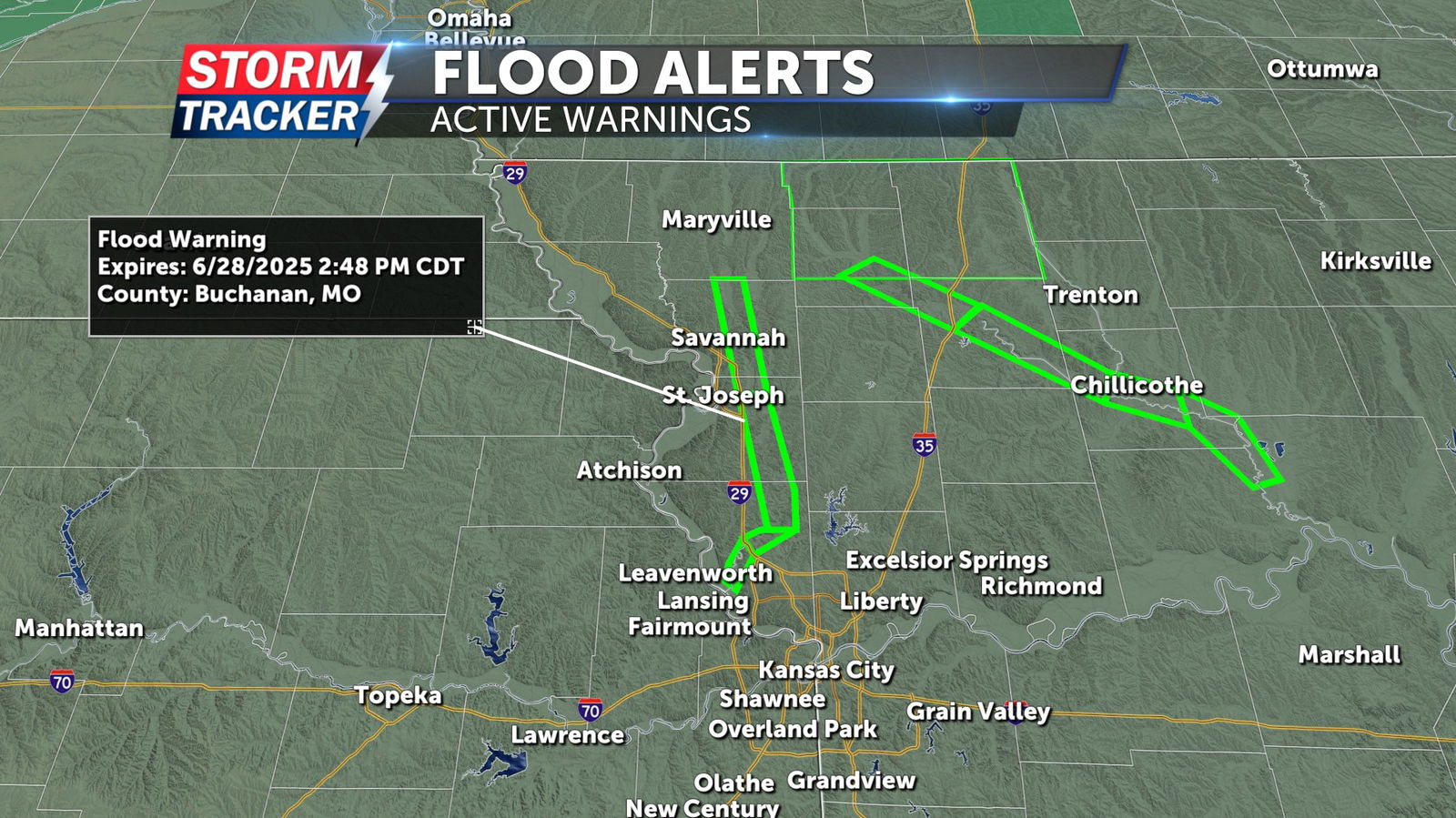
Heavy rainfall across parts of Northwest Missouri Monday and Tuesday has left residual river flooding in a handful of local waterways. A Flood Warning remains in effect for the Platte River in Andrew, Buchanan, and Platte counties through Saturday. Moderate flooding is forecast to continue for the next 48 to 72 hours.