Tracking heat and late-night storms today, cooler days ahead
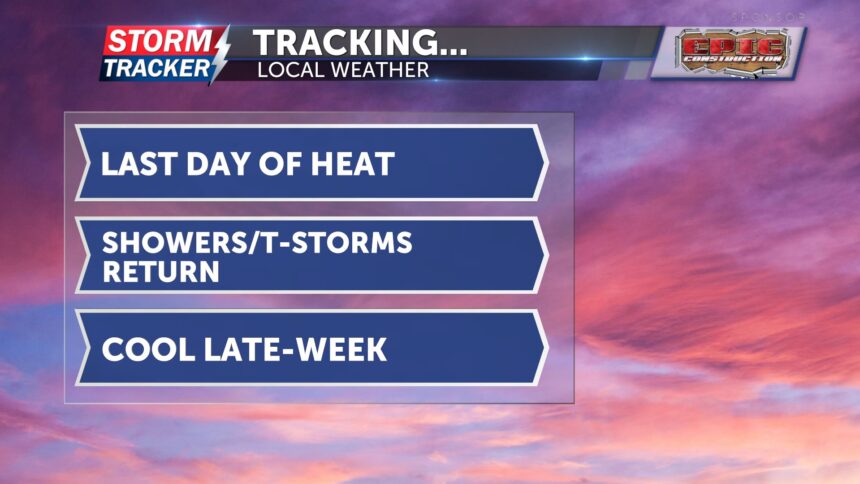
Today will be the last day of the hot and humid conditions we’ve experienced over the past few days. Winds will be light from the south, and mostly sunny skies are expected. Afternoon highs will once again reach the mid-90s, with heat index values ranging from 100 to 110 degrees.
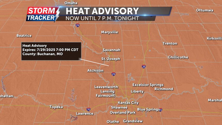
A heat advisory remains in effect until 7 p.m. due to dangerous heat index values. The heat and humidity may lead to heat-related illnesses. Be sure to drink plenty of water and stay in air-conditioned spaces if possible.
Tonight into the overnight hours, showers and thunderstorms are likely. A few storms could become severe, producing locally damaging winds and heavy rainfall. Localized flooding is also possible, especially with storms expected after midnight. Overnight lows will fall into the low 70s.
Showers and thunderstorms may linger into Wednesday morning, with a few additional spotty storms possible in the afternoon. Highs will be in the mid-80s. After this cold front passes, northerly winds will bring a much-needed cool down, with highs in the mid-70s for the rest of the week.


