Tracking possible showers today: heat and humidity stick around
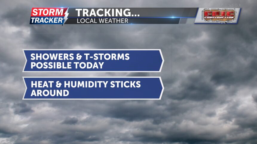
This morning, skies are dry but cloudy. Temperatures are warm once again, and if it doesn’t rain, they should rise fairly quickly once the cloud cover clears. There is a slight chance for showers and thunderstorms through the mid-morning hours and around lunchtime. Like yesterday, if rain develops, it will help keep temperatures cooler. If not, highs will climb into the low 90s. Humidity remains high, making it feel more like the triple digits.
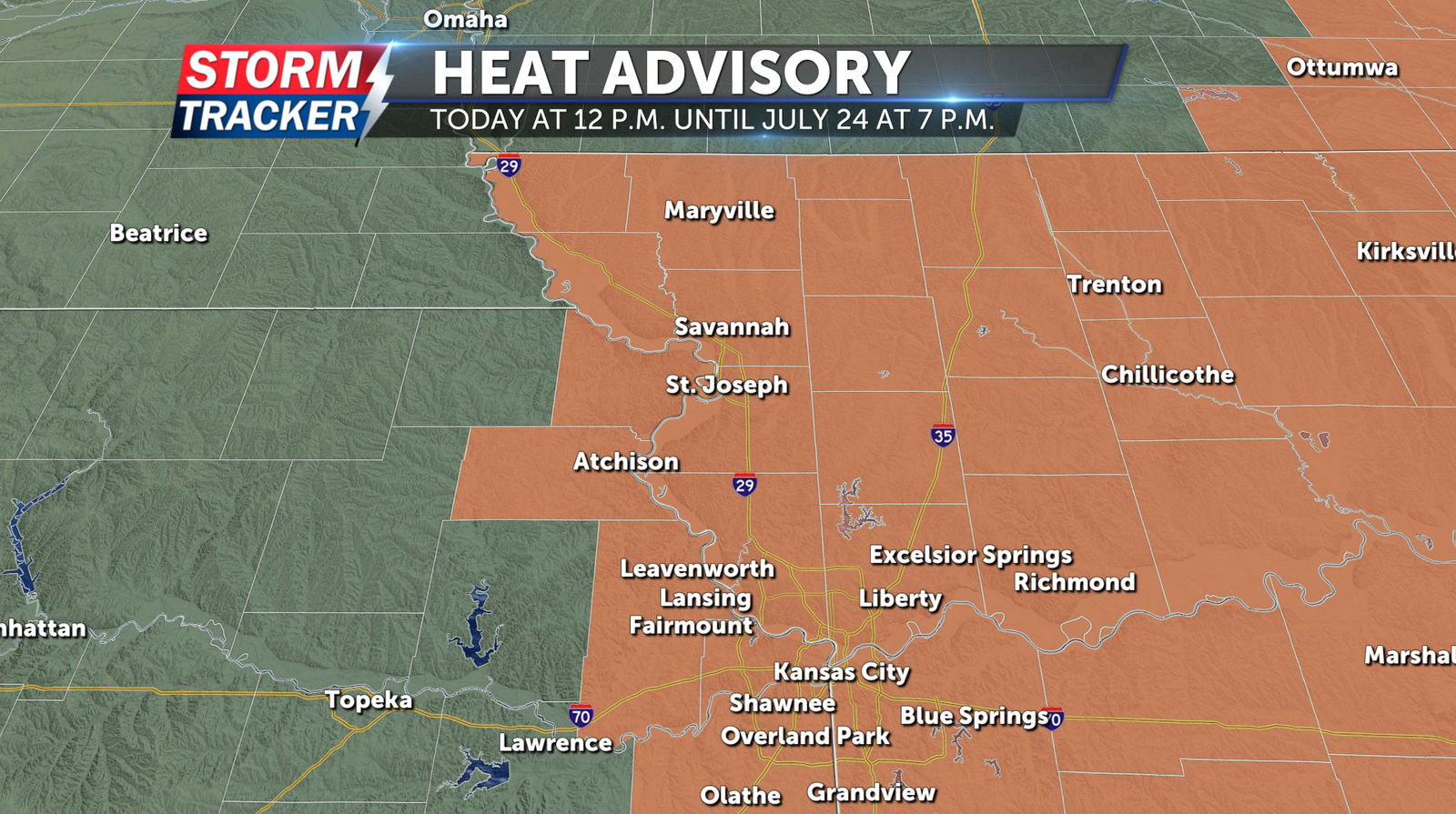
A heat advisory goes into effect at 12 p.m. today and remains in place until 7 p.m. on July 24. The advisory covers all of northwest Missouri and a few counties in northeast Kansas, where heat index values could reach up to 105 degrees. These hot and humid conditions may lead to heat-related illnesses. Make sure to drink plenty of water and take breaks in air conditioning or shade when possible.
Tomorrow, sunny skies and hot temperatures are expected throughout the day. Feels-like temperatures could once again reach the triple digits. Late Wednesday night into early Thursday, a cold front is expected to move through the area, bringing a chance for showers and thunderstorms. Rainfall will help cool temperatures down on Thursday, with highs expected in the low 90s.