Tracking dangerously hot conditions throughout much of the week
To start off your morning, it's already muggy and warm. Over the next few days, warm overnight lows and early morning temperatures won’t bring much relief from the heat. Highs today are expected to reach the low 90s, but it will feel more like the triple digits. A few clouds are expected, and winds will be light from the south. Thunderstorms are expected to develop northwest of our area and should continue tracking through southern Iowa this evening.
A heat advisory goes into effect at 12 p.m. and expires at 9 p.m., with heat index values expected to reach around 104°, and possibly higher in the Kansas City metro.
This evening, there's a brief chance for showers, but those are expected to stay northwest of our area. Tonight will be partly cloudy, with lows only dropping into the mid-70s.
Starting tomorrow and continuing through Thursday, an Excessive Heat Watch will go into effect as dangerously hot conditions develop. Heat index values could reach up to 107°, with air temperatures in the mid-90s on both Tuesday and Wednesday. Plenty of sunshine is also expected.
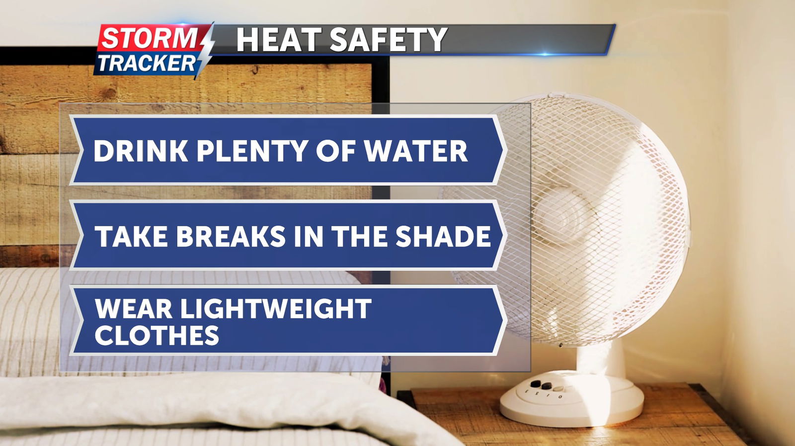
During this heat wave, be sure to stay hydrated, remain indoors when possible, and wear lightweight, light-colored clothing.