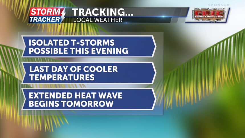
Tracking possible t-storms this evening: July scorcher begins tomorrow
This morning, skies are dry, which is a nice relief from the past two mornings. Temperatures will be warmer today but still cooler than this upcoming weekend. Highs will be in the mid-80s.
As a warm front lifts north this afternoon and evening, a few showers and thunderstorms could develop along it. These will be isolated and scattered in nature. A few could be stronger and produce damaging winds and heavy rain. A few showers and thunderstorms could linger into Saturday morning, but despite the rain, temperatures will heat up with highs in the low 90s.
For both Saturday and Sunday, there is a chance for isolated thunderstorms. Temperatures will be in the low 90s, and it will feel like the triple digits.
Next week, the July scorcher will continue, with temperatures staying in the mid-90s and climbing into the upper 90s by midweek.
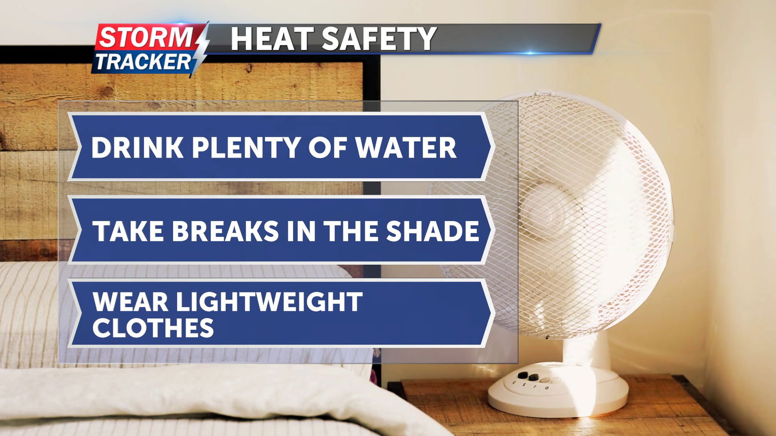
Make sure to drink plenty of water, limit time outdoors, and wear lightweight clothing.