Tracking moderate rainfall and flooding concerns this morning: late-week cool down
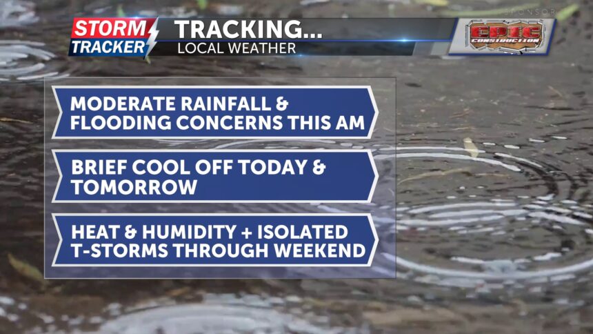
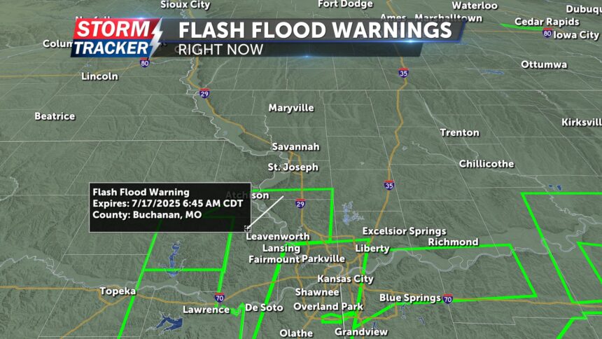
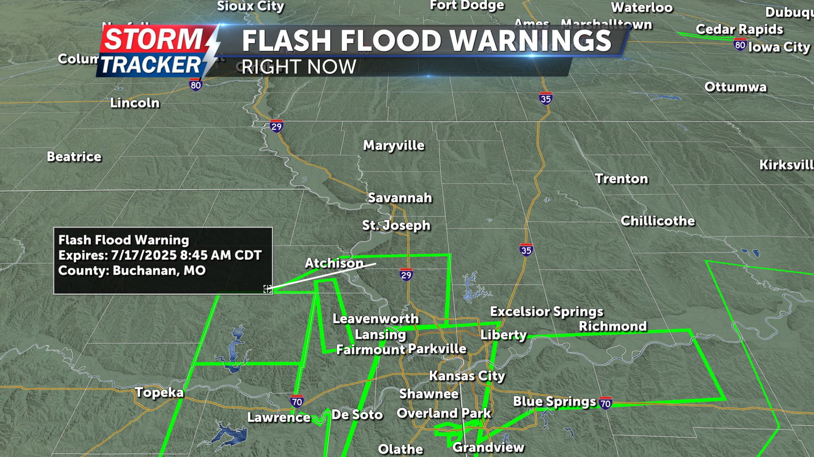
Over the past three hours, more than 0.75 inches of rain have fallen, and with more continuing to fall, there are growing flooding concerns. I’ll keep you updated throughout the morning. As of 5:05 a.m., multiple flash flood warnings are in effect south of Highway 36 and along I-29 heading south toward the Kansas City metro area. The KC metro has received between 3-6 inches of rain in the last three hours. If you're planning to drive in that direction this morning, be on the lookout for water on the roadways, particularly along I-70, where there have been some reports.
Rain is expected to taper off by mid-morning, and the rest of the day will stay dry. Expect plenty of cloud cover, with high temperatures in the mid-70s. This will be a welcome cool-down compared to the heat building in for the weekend.
On Friday, there's a chance for showers and highs will rise into the mid-80s. For the weekend, a few isolated storms are possible, and the heat returns with temperatures climbing into the low to mid-90s.