Tracking another hot day: scattered storms possible late tonight and Wednesday
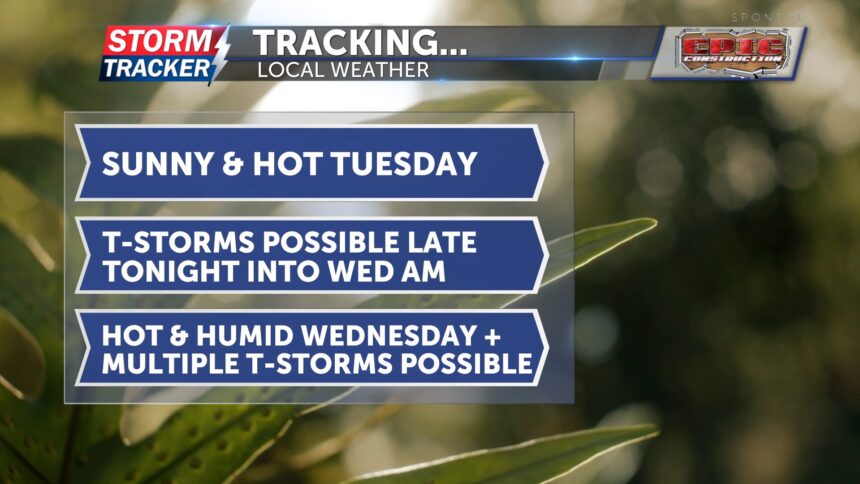
Today will be another hot July day with plenty of sunshine and a few afternoon clouds. Winds will remain light out of the south. Tonight, temperatures will drop into the low 70s. After midnight, there is a 20% chance of thunderstorms in our area. Far northwest Missouri is under a marginal risk, where a few storms could become severe and produce damaging winds.
On Wednesday, multiple rounds of thunderstorms are possible. A few could be strong, with the potential for damaging wind gusts from downbursts. The area remains under a marginal risk for severe weather. It will also be muggy, with high temperatures expected in the mid-90s. Feels-like temperatures could reach the triple digits south of Highway 36, while the St. Joseph area heat indexes will be in the upper 90s. Thunderstorm chances increase to 50% Wednesday night, with lows falling into the low 70s.
Thursday will bring cooler temperatures and continued chances for showers and thunderstorms. However, don't get too comfortable—the heat is expected to return by the weekend.


