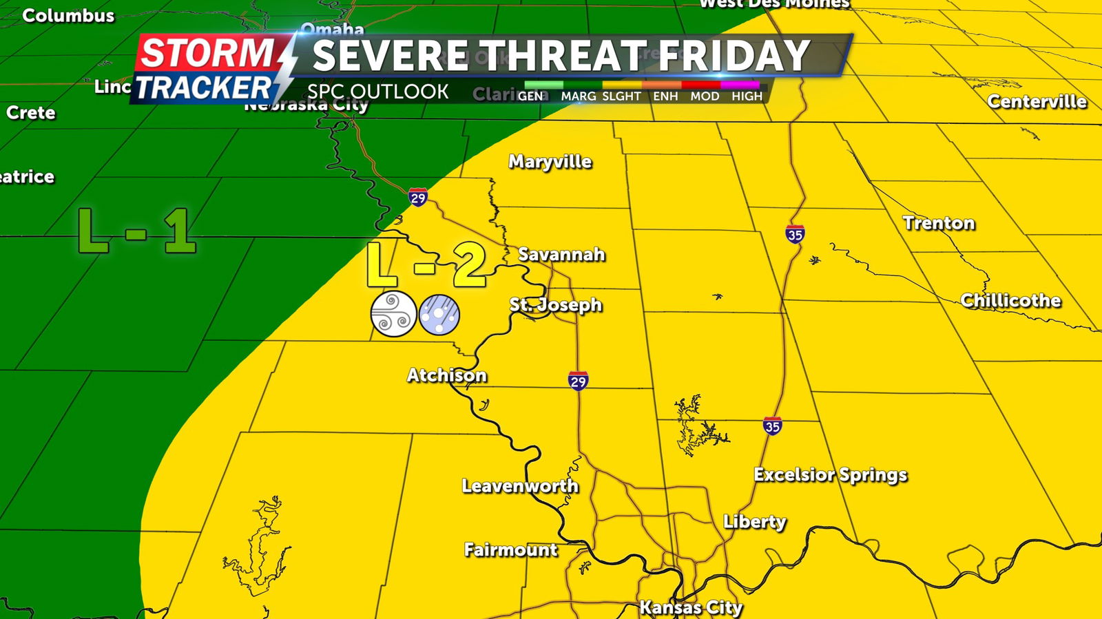
Tracking scattered severe threat this evening: cooler, mostly dry weekend ahead
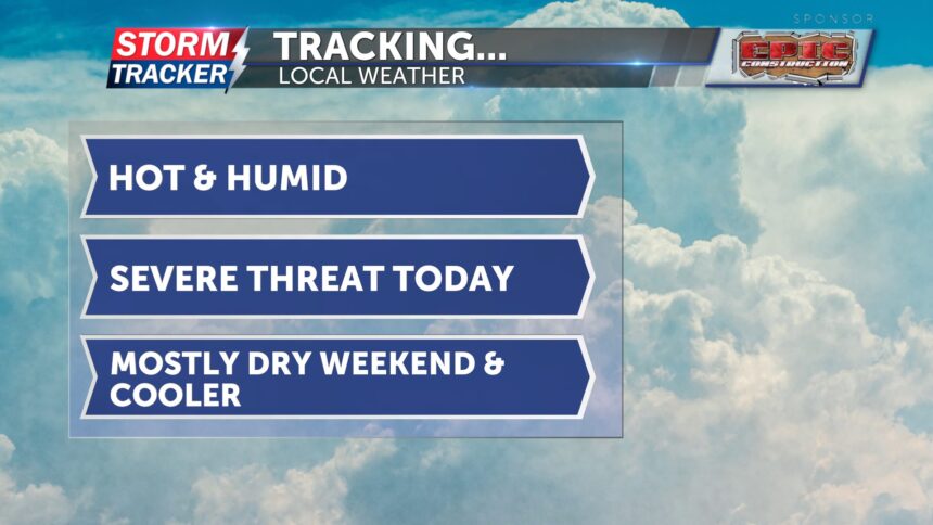
To end your workweek, today will be hot and humid. Highs are expected to reach the mid-90s, with feels like temperatures in the upper 90s. A few clouds will pass through during the morning, but conditions will stay dry early on.
Thunderstorm chances increase after 3 p.m., with a 40–60% chance of storms. Any storms that develop could be severe, producing damaging wind gusts, hail, and locally heavy rainfall. Be sure to have a way to receive weather alerts. After the cold front moves through the area, overnight lows will cool into the upper 60s.
Tomorrow morning, there's a 20% chance for a few lingering showers. The rest of Saturday will be dry with cooler conditions. Highs will be in the mid-80s with light winds from the north. Sunday will be a copy-and-paste forecast. Highs will again be in the mid-80s with mostly sunny skies and a 20% chance for spotty showers. Winds will remain light, shifting to the south.