Tracking a hot and humid late-week: showers possible through holiday weekend
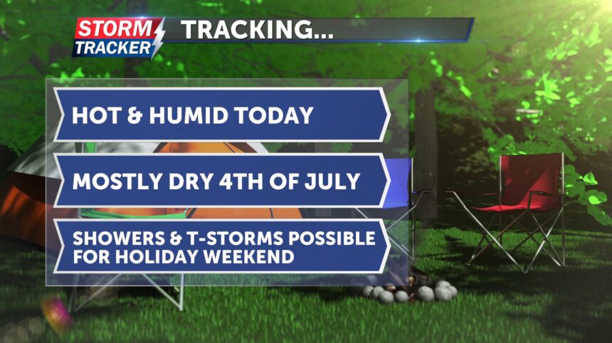
Good morning, St. Joseph! Today's forecast calls for hot and humid conditions. Breezy southerly winds will bring additional moisture into the area, making it feel stickier. Afternoon highs will reach the low 90s, but it will feel more like the mid-90s. Expect plenty of sunshine throughout the day. Skies will remain dry overnight with a few clouds, and temperatures will drop into the low 70s.
Looking ahead to the Fourth of July, rain chances are trending downward, with the best potential for scattered thunderstorms coming early Saturday morning. It will be seasonably hot with highs in the low 90s. Once again, it will be humid, with feels-like temperatures in the mid-90s. Sunshine is expected during the morning, with increasing clouds in the afternoon. Winds from the south will sustain at 10–15 mph, with gusts up to 23 mph, something to keep in mind if you're planning to grill or shoot off fireworks. Overnight lows will be in the low 70s.
For the rest of your holiday weekend, temperatures will be a bit cooler, ranging from the mid to upper 80s. However, there will still be chances for showers and thunderstorms.


