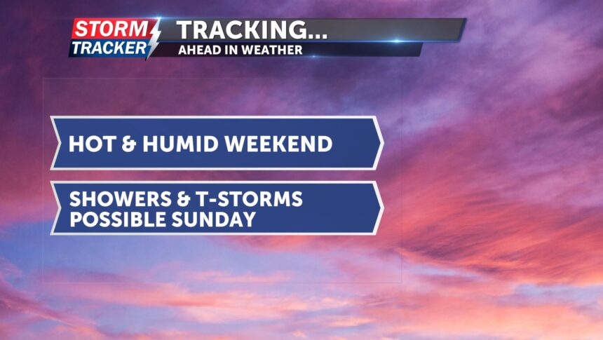
Tracking a hot and mostly dry weekend: t-storms possible Sunday
This evening, there is a slight chance of pop-up showers in our area, but conditions are trending drier tonight. Both air temperatures and heat index values will remain on the toasty side for the next few hours before cooling down overnight. Lows will be in the low 70s, and winds will be light.
For your weekend, Saturday will remain mostly dry. Showers are possible, but not until late Saturday into early Sunday. It will be hot, with highs in the low 90s and heat index values ranging from the mid-90s to upper 90s. Winds will be light.
On Sunday, there are two chances for showers and thunderstorms in our area—first in the early morning, then again in the afternoon and evening. A few stronger storms could become severe, with the potential to produce heavy rain and damaging winds. Highs will once again be in the 90s.
To start the week, Monday will be cooler with a continued chance of rain.


