Tracking a weekend scorcher
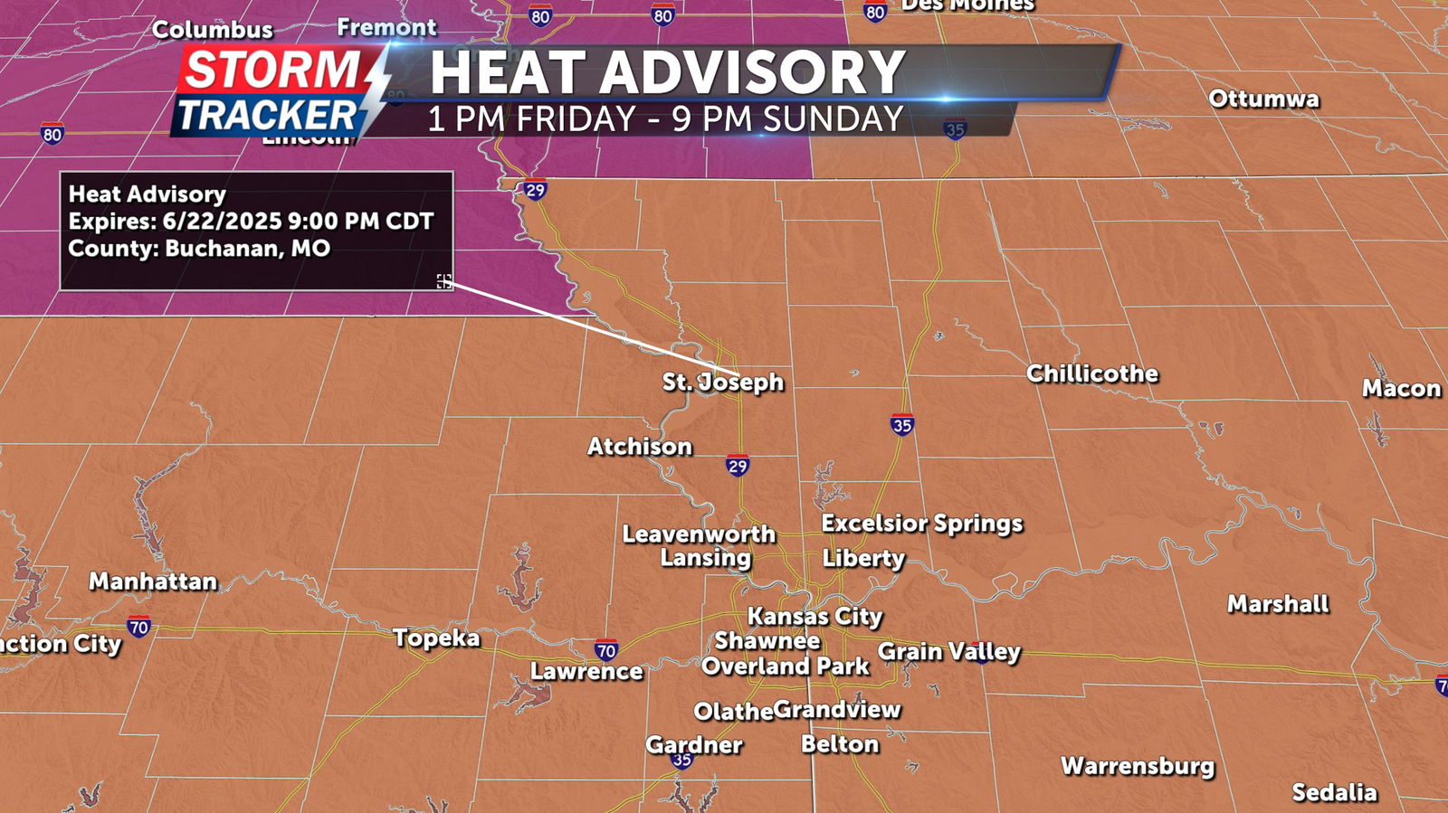
Intense heat and oppressive humidity will continue to dominate the weather story across Northwest Missouri and Northeast Kansas through the weekend. A Heat Advisory has been posted area wide from 1 p.m. Friday to 9 p.m. Sunday. Heat index values of 100 to 106 degrees are expected Friday, Saturday and Sunday afternoon, increasing the risk for heat related illness. Sunny skies and gusty southerly winds will give way to a clear, warm and breezy Friday night with lows in the mid 70s. Abundant sunshine, gusty southerly winds, and afternoon highs in the mid to upper 90s will continue Saturday and Sunday. High humidity will result in peak heat indices well over 100 degrees. Winds could occasionally gust over 30 mph through the weekend. Similar conditions are forecast on Monday with highs well into the 90s and lots of sunshine before isolated t-storm chances return late Monday afternoon and evening. Spotty t-storm chances will become more prevalent through the middle of next week, although afternoon highs will remain above 90 degrees through at least Wednesday.