Tracking dangerous heat for the start of the work-week
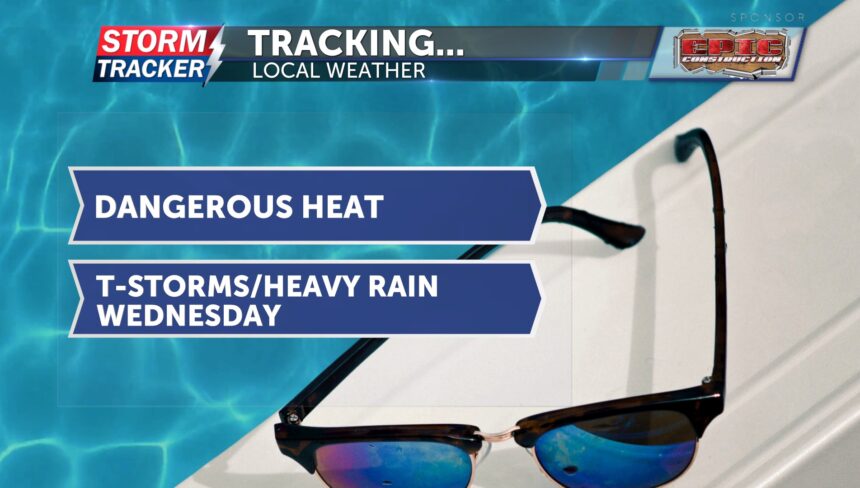
Dangerous heat continues to start your workweek. A few showers and thunderstorms are tracking across the Missouri-Iowa border, which could bring brief, light showers to our area. Even if we do receive any rain, it won’t do much to cool down temperatures. Afternoon highs are expected to reach the mid-90s, but it will feel more like the triple digits outside. Heat index values are expected to range from 105 to 110 degrees.
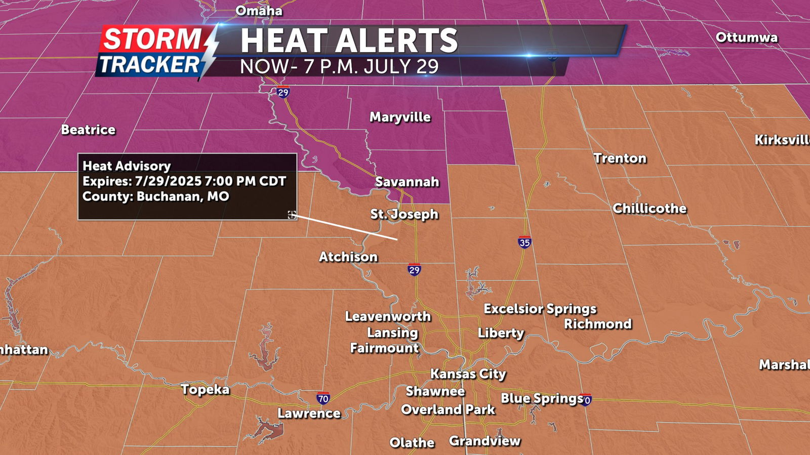
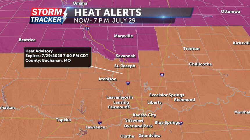
A heat advisory is in effect until 7 p.m. Tuesday, July 29, for Buchanan County in Missouri, and Doniphan and Atchison counties in Kansas, where heat and humidity could lead to heat-related illnesses as heat index values may reach up to 110 degrees.
An excessive heat warning is also in effect until 7 p.m. Tuesday, July 29, for Atchison County in Missouri, as well as Holt, Nodaway, Andrew, Worth and Gentry counties. In these areas, heat index values could reach as high as 115 degrees, significantly increasing the risk of heat-related illnesses.
Overnight lows won’t bring much relief, staying in the mid-70s. This dangerous heat will continue into Tuesday, with highs again in the mid-90s and heat index values between 105 and 110 degrees. Expect plenty of sunshine before showers and thunderstorms return on Wednesday.