Tracking thunderstorms, heavy rain and a flood risk for the late-week
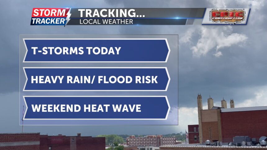
This morning, showers and thunderstorms will moved through the area. Overcast skies are expected through lunchtime, lunchtime, but another round of thunderstorms is expected this evening. Heaviest rainfall is expected to be in late tonight into tomorrow morning. Some storms may become strong to severe, with the potential for gusty winds and downbursts at times.
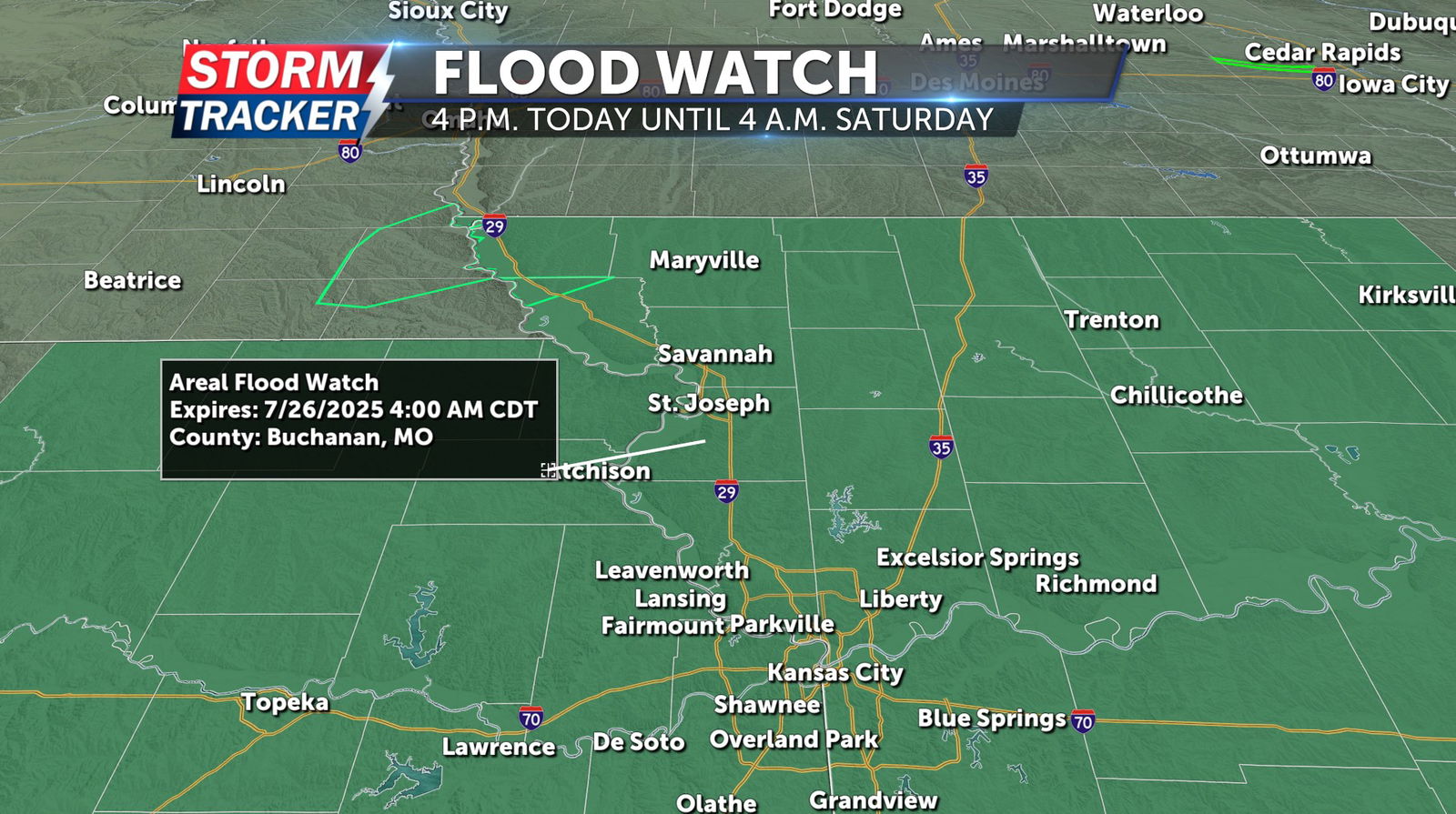
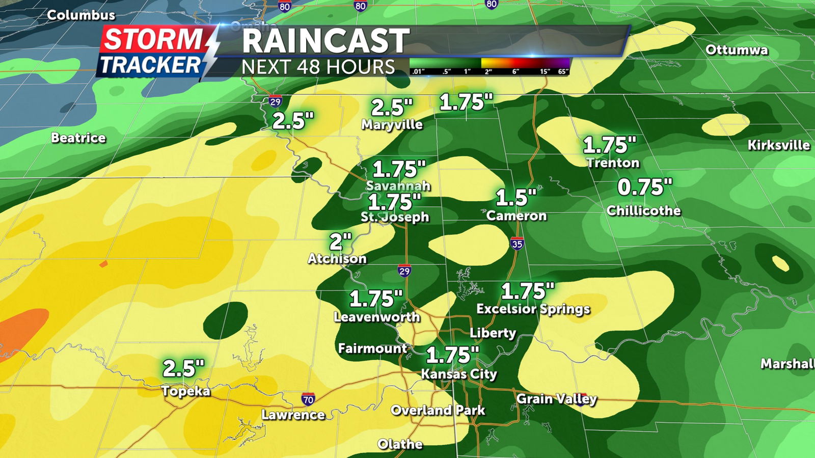
A Flood Watch has been issued for all of northwest Missouri and northeast Kansas from Thursday evening through early Saturday morning. Rainfall totals of 1 to 4 inches are possible over the next 48 hours, with locally higher amounts. Flash flooding is possible. On Friday, showers and thunderstorms are expected to continue throughout much of the day.
Highs will be in the mid-80s on both Thursday and Friday.
By the weekend, sunshine and summer heat will return.