Tracking sunshine and heat today: late-week showers and thunderstorms
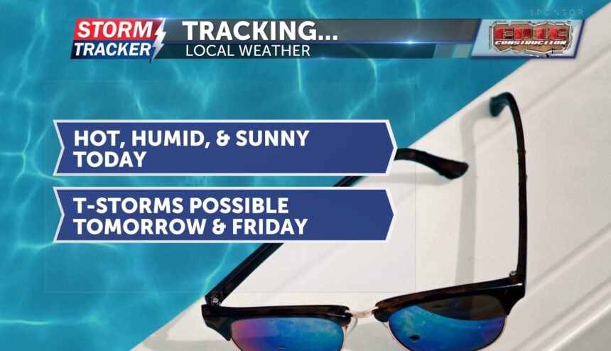
Today will be mostly sunny, hot, and humid—classic late July weather. Temperatures will climb into the low 90s this afternoon. Dew points have dropped into the low 70s, so while it won't be quite as humid as yesterday, it will still feel like the triple digits. Winds will be breezy from the south at 10–15 mph, with gusts up to 22 mph.
A Heat Advisory remains in effect for all of northwest Missouri and the eastern edge of Kansas through 7 p.m. this evening.
Tonight, temperatures will dip into the mid-70s. There's a slight chance for showers and thunderstorms overnight.
Rain and storms become more likely Thursday morning and again in the evening. These storms are expected to remain non-severe, but they could produce heavy rainfall. Flooding is a concern, as the storms may move slowly. Rainfall totals of 1 to 3 inches are possible, with locally higher amounts. Highs on Thursday and Friday will be in the upper 80s.
Looking ahead to the weekend, sunshine and heat return.


