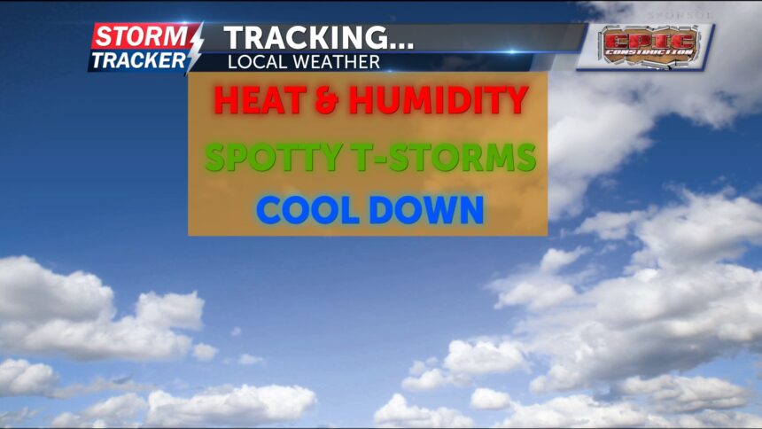
Tracking summer heat and multiple chances for thunderstorms today
Some light rain will fall during the early morning hours before drying out through midmorning and lunchtime. It will be hot and humid today, with highs expected in the low 90s and heat index values in the mid to upper 90s.
Depending on where the cold front stalls, more storms could develop this afternoon and after sunset. These storms will be more isolated and scattered, but a few could become severe, producing gusty winds and locally heavy rainfall, which could lead to flash flooding.
Tonight and into the overnight hours, additional showers and thunderstorms are possible. Some of these could also bring damaging winds and heavy rainfall, again raising the risk for flash flooding.
Showers may linger into Thursday morning. After that, we trend drier. The severe threat is low, and it will be much cooler with highs in the upper 70s. On Friday, another round of showers and thunderstorms is possible, with warmer conditions returning. Highs will reach the mid-80s.
This weekend will be hot and humid, and scorching heat is expected to build in next week.
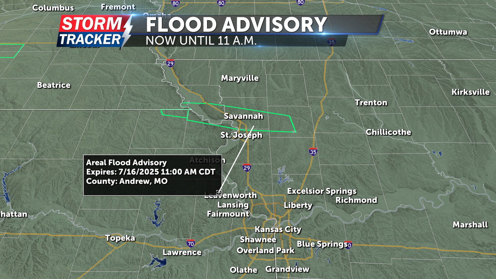
UPDATE: 9:30 AM
A flood advisory is in effect until 11AM this morning, due to heavy rain leading to minor flooding in low lying and poor drainage areas. This for Doniphan (KS) county and Andrew, Buchanan, DeKalb, and Holt counties in northwest Missouri.