Tracking a hot and sunny start to the work-week
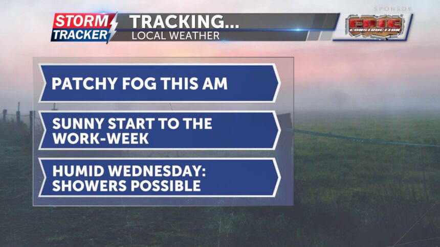
This morning, patchy fog will linger for the next few hours. Skies will be dry and full of sunshine throughout the day. Winds will be light, and it won’t be too humid, making for a pleasant but hot start to the workweek. Temperatures will still be toasty, with highs expected to be in the low 90s. Tonight, skies will remain clear and temperatures will drop into the upper 60s.
Tomorrow will be a copy-and-paste day for the forecast, with just a few more clouds. Skies are expected to be mostly sunny, winds will be light from the south, and highs will again reach the low 90s. Skies will stay clear through Tuesday night.
By midweek, conditions turn hotter and more humid, with feels-like temperatures nearing 100 degrees. We are trending drier during the day, but there is a 30% chance for showers and thunderstorms later in the evening.
Thursday is a day to watch, as stronger storms are possible along with the potential for heavy rainfall.


