Tracking dry skies today: late-week showers and thunderstorms possible
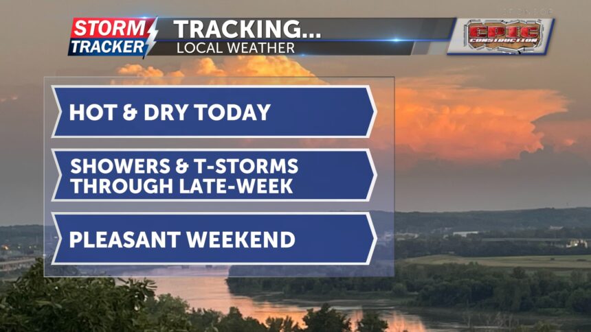
This morning, there is some patchy fog along the Missouri River, but it will quickly dissipate. Plenty of sunshine is expected today, with a few clouds developing later this afternoon. July heat will stick around over the next few days, starting today, as highs reach the low 90s. Winds will be light out of the south.
Tonight, a few pop-up showers and thunderstorms could develop. Temperatures will only drop into the upper 60s to low 70s.
Tomorrow, a few showers and thunderstorms are possible in the morning. If the atmosphere is able to recover, there is potential for more storms in the afternoon. We are currently under a marginal risk for severe storms. If they develop, damaging winds up to 60 mph and heavy downpours are possible.
The same goes for Friday evening, as we remain under a marginal risk for severe thunderstorms. Hail is also possible Friday, and storms may be more organized with a higher chance for widespread showers and thunderstorms. Highs will for both Thursday and Friday will remain hot, in the low 90s.
Saturday and Sunday will bring cooler temperatures and more sunshine.


