Tracking hot temperatures and sunshine: possible showers through holiday weekend
Another cool start to the morning, but as the sun rises, temperatures will quickly climb. Afternoon highs are expected to reach the upper 80s to low 90s, which is seasonable for this time of year. Luckily, dew points will stay in the low 60s today, keeping the air drier and more comfortable.
Tonight, overnight lows will be a bit warmer than the past two nights, dropping into the upper 60s to low 70s.
Tomorrow, more sunshine is expected, but it will be hot and humid. Dew points will rise into the upper 60s, making it feel more like the mid to upper 90s outside. Winds will be light out of the south. Thursday night will remain dry, with temperatures falling into the low 70s.
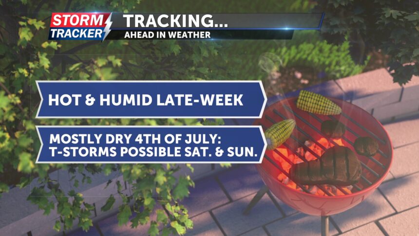
For the Fourth of July, we’re expected to stay dry during the day, as the chance for showers and thunderstorms is trending later, after the midnight hour. If storms develop late Friday into Saturday, they will be scattered, and a few could be strong.
Both Saturday and Sunday bring chances for showers and thunderstorms.


