Tracking thunderstorms and heavy rain this morning: drier and cooler mid week
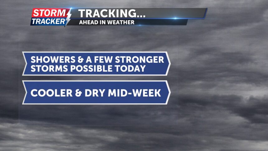
Over the next few hours, rain and thunderstorms will move into northeast Kansas and northwest Missouri. A few stronger storms could still become severe, with the potential to produce heavy rainfall and damaging winds up to 50 mph. Today, we could see up to an quarter to an inch of rainfall, adding to what we received last week.
After these storms pass through, rain chances will decrease. There is still a chance for showers and thunderstorms later this afternoon, mainly east of I-35. Tonight, skies will clear, and temperatures will cool down into the low 60s.
Tuesday and Wednesday will be dry, with highs in the mid to upper 80s. Later in the week, temperatures will rise back into the 90s, along with a few chances for rain.


