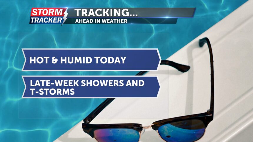
Tracking dry skies today; multiple rain chances late-week
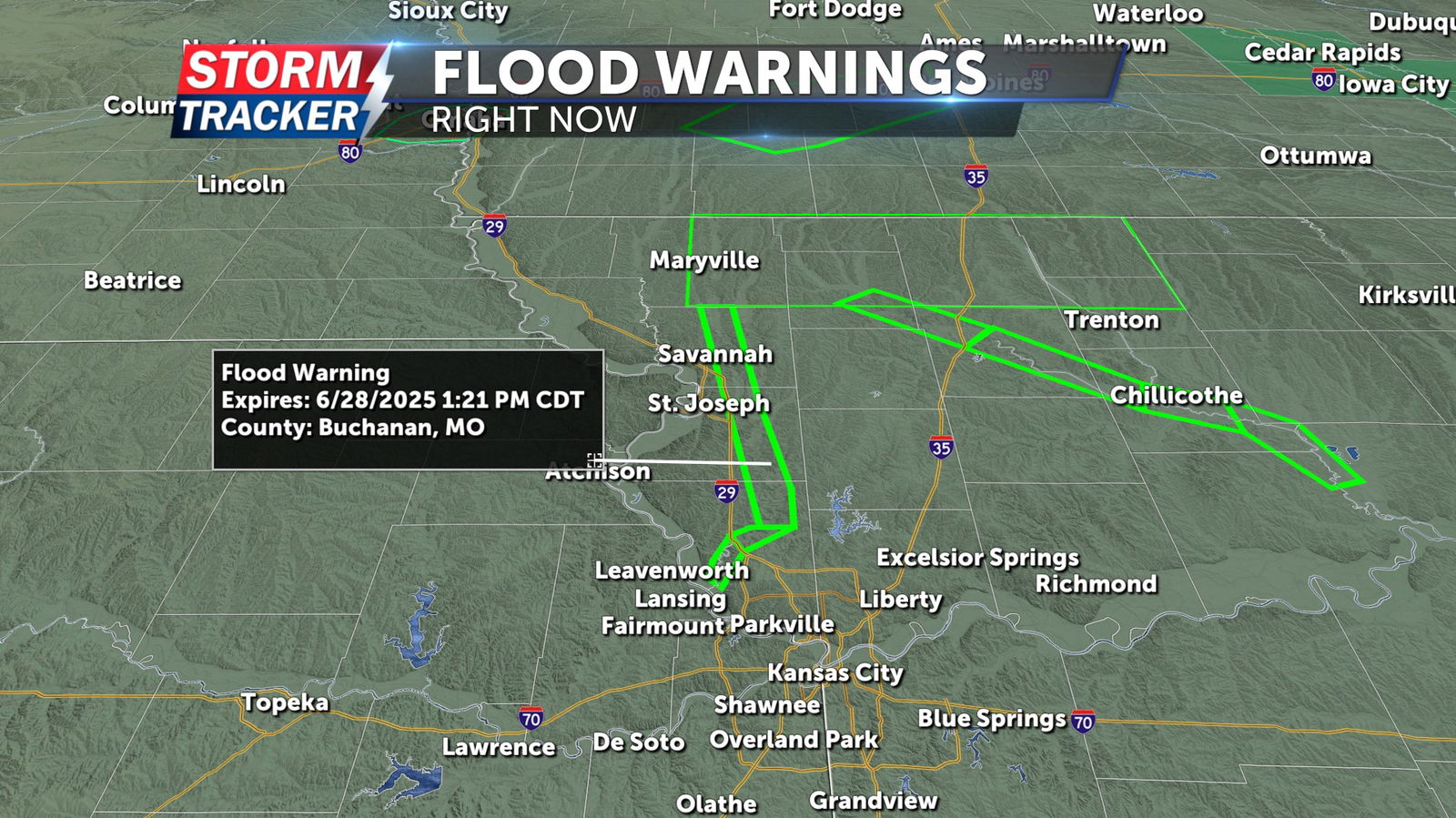
Heavy rainfall across northwest Missouri has left residual river flooding in a handful of local waterways, especially north of the Highway 36 corridor. A flood warning remains in effect for the Platte River through Nodaway, Andrew, Buchanan, and Platte county through Friday afternoon.
Luckily, we’ll get a break from the rain today with dry skies expected. A few pop-up showers are possible east of I-35 later this afternoon. It will be hot, with highs reaching the low 90s. Dew points will be in the low 70s, making conditions muggy. Today’s heat index will be in mid to upper 90s. Tonight, skies will be mostly clear, and temperatures will only fall to the mid-70s.
Thursday afternoon and evening bring our next best chance for showers and thunderstorms in the area. A few storms could be severe, as we are currently under a marginal risk. If storms become severe, they may produce damaging winds and heavy rainfall, potentially adding to totals from earlier this week.
As we head into the weekend, multiple chances for showers and thunderstorms remain in the forecast.


