More slow-moving storms move across a flood-weary East Coast. When will the rain end?
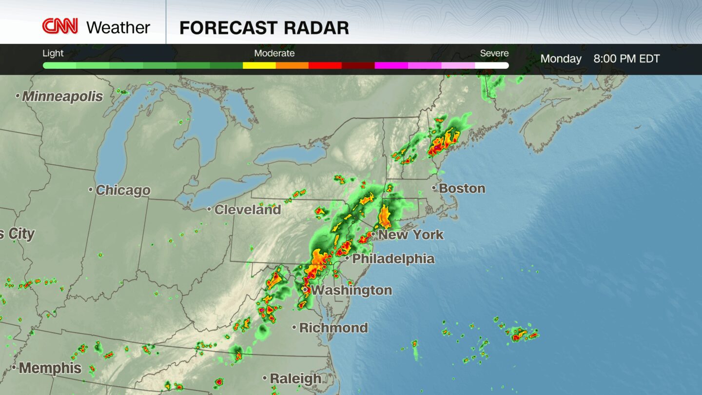
Rainfall totals could reach 2 to 4 inches in Monday afternoon and evening’s storms
By Luke Snyder, Amanda Musa, Alex Stambaugh, CNN
(CNN) — Another round of showers and thunderstorms moved across the Mid-Atlantic Tuesday after intense rain set off dangerous flash flooding from Virginia to New York on Monday, leaving at least two dead and prompting dozens of rescues as water overwhelmed roads and subways.
Monday saw the most flash flood warnings ever issued in a single July day, with nearly 100, primarily across the Mid-Atlantic and Northeast. Flooding was reported near Newark, New Jersey, New York City, northern Virginia and southern Maryland, according to the National Weather Service.
Two people died in Plainfield, New Jersey, after a vehicle was swept away by floodwater, Union County spokesperson Kelly Martins told CNN in a statement.
Tuesday’s storms were more scattered and less intense than Monday’s, but rainfall rates were heavy – and with the ground already soaked, even small amounts of rain caused problems.
The weather service reported flash flooding in areas of North Carolina Tuesday evening, including Burlington and Mount Airy, where vehicles were stranded, roads washed out, and water rushed into homes. Scattered showers are expected to continue across the Appalachian region, particularly western North Carolina, Wednesday morning.
Storms set off dangerous flooding during Monday rush hour
Showers on Monday dominated the Northeast by the latter half of the day and the heaviest storms arrived by early evening, threatening rush hour commuters.
New York City experienced its second wettest hour on record Monday night after a little over 2 inches fell between 7 p.m. and 8 p.m. local time. This record is only beat by the approximately three-and-a-half inches of rain recorded during the remnants of Hurricane Ida in 2021. New York City received a total of 2.64 inches of rain, shattering its previous record for July 14 rainfall set in 1908.
Videos on social media showed water gushing onto platforms in New York’s subway and flowing through subway cars as passengers crouched on seats. At least one subway station was flooded by the deluge, according to a spokesperson with the Metropolitan Transit Authority. Several trains were also suspended, delayed or rerouted due to the flooding, according to MTA’s website.
Several airports in the New York City area issued temporary ground stops and delays Monday evening, according to the Federal Aviation Administration, and impacts were also reported at Ronald Reagan Washington National Airport and Boston Logan International Airport.
New Jersey Gov. Phil Murphy declared a state of emergency due to the flooding Monday night, warning residents to “remain off the roads unless absolutely necessary.” The governor on Tuesday noted some roadways remained closed as crews worked to “clear debris, make emergency road repairs, and remove abandoned cars caught in last night’s flooding.”
North Plainfield, New Jersey, Mayor Lawrence La Ronde told CNN affiliate WABC emergency crews rescued people from at least 30 homes, after streets became completely flooded and were impassable.
In Union County, New Jersey, where the two deaths occurred, police assisted with 19 water rescues and the county’s regional communications center received over 1,200 emergency calls in just two hours during the height of the storm, Martins, the spokersperson, added. The area saw rainfall totals between 3 to 5 inches.
In Lancaster County, Pennsylvania, 16 water rescues were reported in Mount Joy Township Monday afternoon, according to the Mount Joy Fire Department.
“Starting around 2:00 p.m., intense rainfall dropped over 7 inches of rain in less than five hours, overwhelming stormwater infrastructure and inundating portions of the borough,” the fire department said in a Facebook post. “The west end of town was hardest hit, with reports of over 5 feet of water in some homes.”
When will the rain end?
More showers began to develop in the Mid-Atlantic and Southeast Tuesday afternoon, lingering over parts of western North Carolina and Virginia during the evening.
Showers will start clearing up by early Wednesday. Weather will remain quiet until the flood threat shifts north once again Wednesday into Thursday, with a level 2 of 4 excessive rainfall risk for most of Pennsylvania, the Washington, DC, Metroplex, eastern Ohio and northern West Virginia.
Much of the area impacted by flooding early in the week had seen up to 300% of their normal rainfall over the past two weeks.
Record-breaking flood events have happened nearly back-to-back in recent weeks, most notably in Texas’ Hill Country, where more than 130 people died after catastrophic flooding on July 4. New Mexico, North Carolina and other East Coast states have also seen life-threatening floods and historic rainfall this month.
More than 3,000 flash flood warnings have been issued so far this year by National Weather Service offices around the country, with the current count higher than any previous year through July 14 since such records began in 1986.
Overwhelming rainfall is becoming more prevalent in a warming world, as rising global temperatures drive weather toward extremes. Hourly rainfall rates have grown heavier in nearly 90% of large US cities since 1970, according to a recent study from the nonprofit research group Climate Central.
Storms thrive on warm, moist air, and with the nation approaching peak summer heat, this month has seen the perfect conditions for flooding rain.
This story has been updated with additional information.
The-CNN-Wire
™ & © 2025 Cable News Network, Inc., a Warner Bros. Discovery Company. All rights reserved.
CNN’s Jillian Sykes, Taylor Romine, Sarah Dewberry and Lauren Mascarenhas, and CNN Meteorologists Brandon Miller and Briana Waxman contributed to this report.


