The science of summer storms
ST. JOSEPH, Mo. (News-Press NOW) -- The hot and steamy days of summer are here, bringing a persistent pattern of high temperatures, high humidity, and scattered thunderstorms to the region. With daytime heating and lots of moisture in the air, it often doesn’t take much for thunderstorms to start developing — and here’s why.
Think of it like this: you’re sitting outside on a hot day, enjoying a refreshing, cold bottle of water. Soon, you start to notice droplets forming on the outside— that’s called condensation.
Condensation is one of the main steps to the water cycle, but it’s also a key factor in thunderstorm formation. A similar process happens in the atmosphere during the summer. Warm, moist air rises, cools, and condenses into clouds. When there’s enough instability — fueled by that warm, moist air — thunderstorms can quickly develop.
Just like the water cycle, thunderstorms go through three main stages: developing (or cumulus), mature, and dissipating. In the developing stage, a cumulus cloud begins to grow as warm air rises, this upward movement is called an updraft.
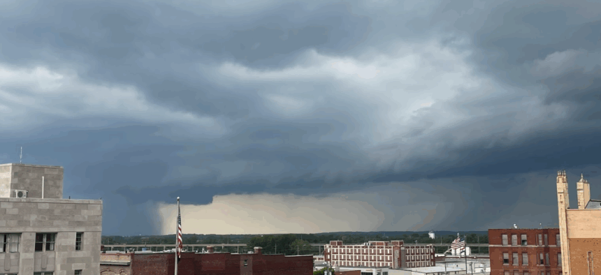
As the storm matures, the updraft continues to fuel its growth while precipitation begins to fall, creating a downdraft. The mature stage is often the most intense. This is when hail, heavy rain, frequent lightning, strong winds and even tornadoes can occur.
Eventually, the downdraft becomes stronger than the updraft, cutting off the storm’s supply of warm, moist air. As a result, precipitation tapers off and the storm enters its dissipating stage.
So, that bottle of water sitting on the table on a hot summer day, waiting for you to take a sip, is more than just refreshing. It’s a mini lesson in how thunderstorms form.


